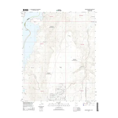
2014 Map of Meadview North
USGS Topo · Published 2014About this map
The residential street grid of Meadview occupies the southern reach of this survey, positioned at the edge of the Lake Mead National Recreation Area. This high-desert community serves as a gateway to the complex shoreline of Lake Mead, where numerous inlets like Wagon Trail Bay, Smith Bay, and Hualapai Bay meet the arid terrain of the Mojave Desert. The landscape is defined by dramatic elevation changes, moving from the open waters of the Gregg Basin up to the broad expanse of Grapevine Mesa.
Find a feature on this map
61 named features on this map. Tap any name to fly to it.
Don’t see what you’re looking for? This feature index may not catch every label — zoom into the map to look around manually.
Map Details
Editions of this 2014 Meadview North Map
This is the sole edition of this map. No revisions or reprints were ever made.
Other maps of this area

1886 · Diamond Creek
USGS Topo · 1:250,000

1886 · Camp Mohave
USGS Topo · 1:250,000

1886 · Saint Thomas
USGS Topo · 1:250,000

1886 · Mt. Trumbull
USGS Topo · 1:250,000

1892 · Diamond Creek
USGS Topo · 1:250,000

1892 · Mt. Trumbull
USGS Topo · 1:250,000

1892 · Camp Mohave
USGS Topo · 1:250,000

1893 · Saint Thomas
USGS Topo · 1:250,000

1926 · Bonelli
USGS Topo · 1:96,000

1942 · Camp Mohave
USGS Topo · 1:250,000