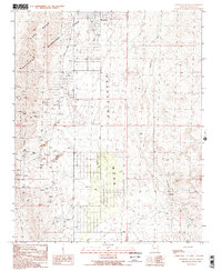
1989 Map of Meadview South
USGS Topo · Published 1990About this map
Lake Mead National Recreation Area dominates the northwestern corner of this landscape, where the high desert terrain meets the federal preserve. The region is defined by Grapevine Mesa, a massive landform bisected by the prominent Pearce Ferry Road and drained by the deep system of Grapevine Wash. Settlement is concentrated at Meadview, while the surrounding slopes are heavily marked by the legacy of desert prospecting and extraction.
Find a feature on this map
24 named features on this map. Tap any name to fly to it.
Don’t see what you’re looking for? This feature index may not catch every label — zoom into the map to look around manually.
Map Details
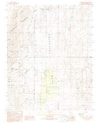
Editions of this 1989 Meadview South Map
2 editions found
Other maps of this area

1886 · Diamond Creek
USGS Topo · 1:250,000

1886 · Camp Mohave
USGS Topo · 1:250,000

1886 · Saint Thomas
USGS Topo · 1:250,000

1886 · Mt. Trumbull
USGS Topo · 1:250,000

1892 · Diamond Creek
USGS Topo · 1:250,000

1892 · Mt. Trumbull
USGS Topo · 1:250,000

1892 · Camp Mohave
USGS Topo · 1:250,000

1893 · Saint Thomas
USGS Topo · 1:250,000

1926 · Bonelli
USGS Topo · 1:96,000

1942 · Camp Mohave
USGS Topo · 1:250,000