2021 Map of Meckling
USGS Topo · Published 2021About this map
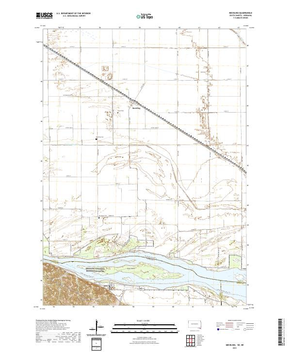
The settlement of Meckling stands at the center of this landscape, situated between a developed agricultural upland and the dynamic reaches of the Missouri River. This 2021 survey reveals a complex water management system, where the Yankton Clay Ditch and Clay Cr Ditch channel water across the flats of the river valley. To the south, the river corridor is preserved as the Missouri National Recreation River and Missouri Wild and Scenic River, protecting a network of sandbars and chutes surrounding Goat Island. Local heritage is anchored by a trio of burial grounds serving the surrounding townships: Taylor Cem, Meckling Cem, and Evergreen Cem. The map illustrates the contemporary intersection of recreational river use, represented by the Lower Missouri River Trl, and the enduring grid of section-line roads like Timber Rd.
Find a feature on this map
34 named features on this map. Tap any name to fly to it.
Don’t see what you’re looking for? This feature index may not catch every label — zoom into the map to look around manually.
Map Details
Editions of this 2021 Meckling Map
This is the sole edition of this map. No revisions or reprints were ever made.
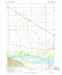
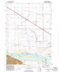
Historical Maps of Meckling Through Time
Featured Locations
- Vermillion Township, SD
- Meckling Township, SD
- Spirit Mound Township, SD
- Precinct 6, NE
- Meckling, Meckling Township