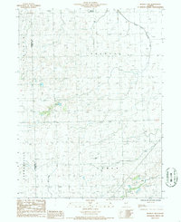
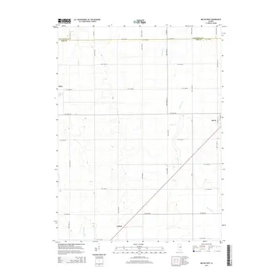
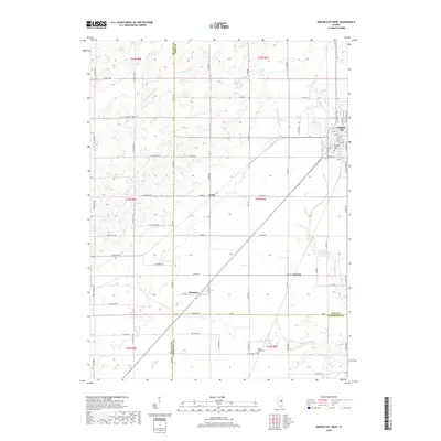
1986 Map of Melvin West
USGS Topo · Published 1986About this map
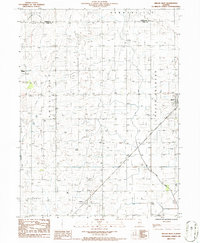
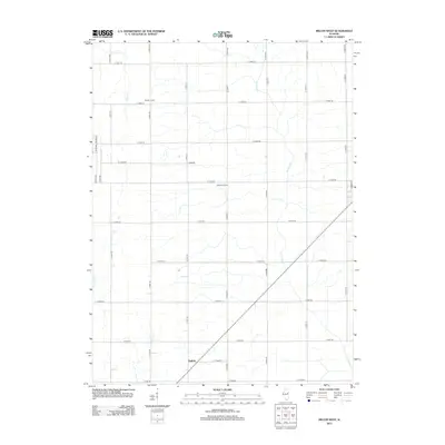
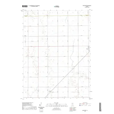
Peach Orchard and Sullivan townships characterize this central Illinois landscape in the mid-1980s, an area defined by its regular grid of section roads and agricultural infrastructure. The villages of Melvin and Sibley anchor the eastern and western edges of the sheet, while the smaller settlement of Guthrie sits near the southern boundary. This period of land management is marked by extensive drainage efforts, most notably the Big Four Ditch, which cuts diagonally through the townships to manage the flat prairie terrain. Industrial and utility landmarks including a Pumping Station and Substation are scattered across the quadrangle, reflecting the modernized infrastructure of the late 20th-century rural Midwest. The map also captures the boundary where Livingston and Ford Counties meet, providing a detailed record of local jurisdictional lines and township divisions such as Germanville and Dix.
Find a feature on this map
13 named features on this map. Tap any name to fly to it.
Don’t see what you’re looking for? This feature index may not catch every label — zoom into the map to look around manually.
Map Details
Editions of this 1986 Melvin West Map
This is the sole edition of this map. No revisions or reprints were ever made.
Historical Maps of Melvin Through Time
36 maps found
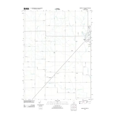
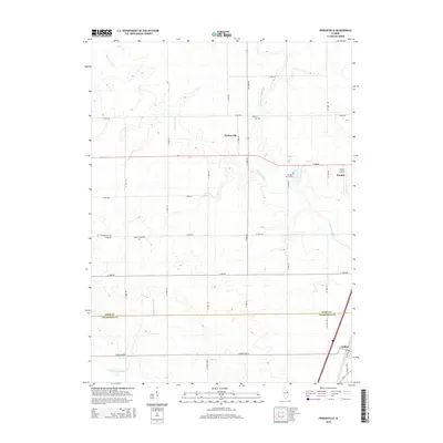
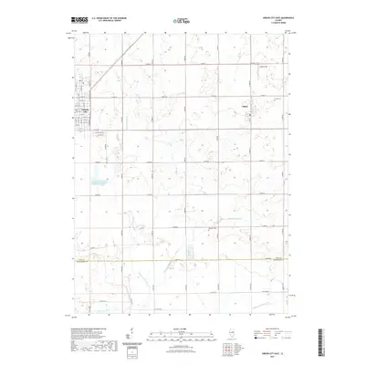
1982 Gibson City West
Ford County, IL
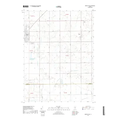
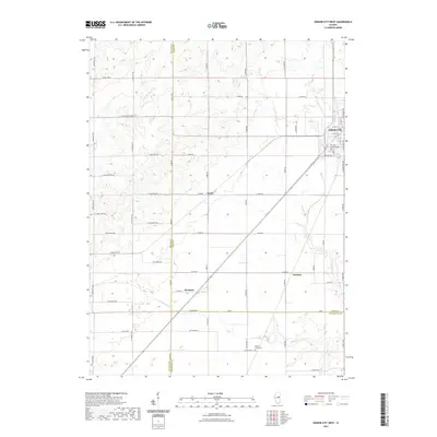
1983 Gibson City East
Ford County, IL
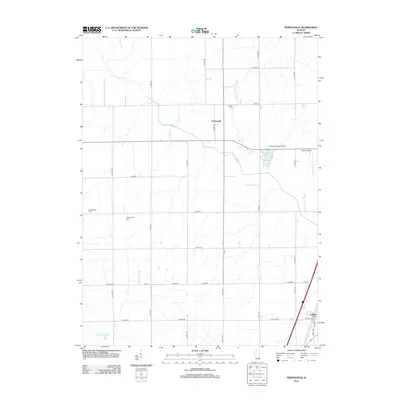
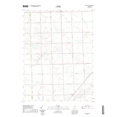
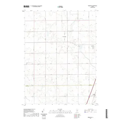
1984 Perdueville
Ford County, IL
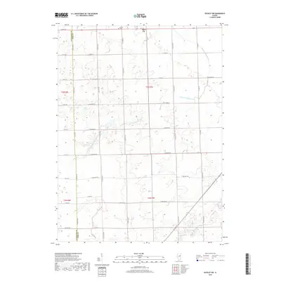
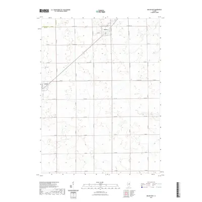
1986 Buckley NW
Ford County, IL
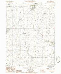
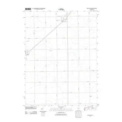
1986 Melvin East
Ford County, IL
1986 Melvin West
Ford County, IL
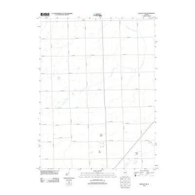
2012 Buckley NW
Ford County, IL
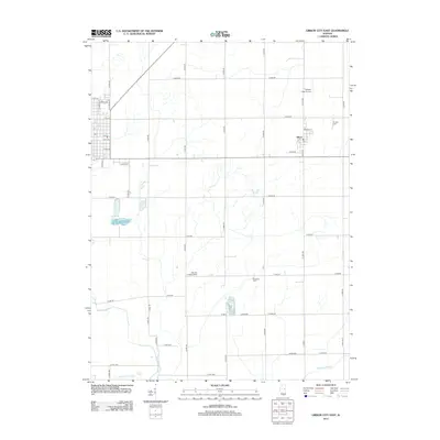
2012 Gibson City East
Ford County, IL
2012 Gibson City West
Ford County, IL
2012 Melvin East
Ford County, IL
2012 Melvin West
Ford County, IL
2012 Perdueville
Ford County, IL
2015 Buckley NW
Ford County, IL
2015 Gibson City East
Ford County, IL
2015 Gibson City West
Ford County, IL
2015 Melvin East
Ford County, IL
2015 Melvin West
Ford County, IL
2015 Perdueville
Ford County, IL
2018 Buckley NW
Ford County, IL
2018 Gibson City East
Ford County, IL
2018 Gibson City West
Ford County, IL
2018 Melvin East
Ford County, IL
2018 Melvin West
Ford County, IL
2018 Perdueville
Ford County, IL
2021 Buckley NW
Ford County, IL
2021 Gibson City East
Ford County, IL
2021 Gibson City West
Ford County, IL
2021 Melvin East
Ford County, IL
2021 Melvin West
Ford County, IL
2021 Perdueville
Ford County, IL
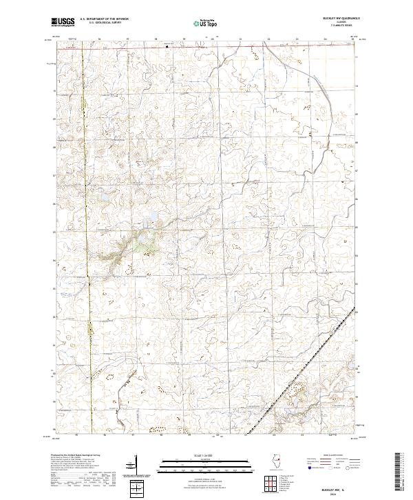
2024 Buckley NW
Ford County, IL
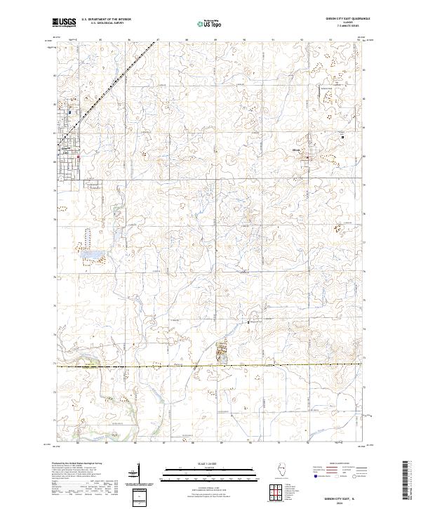
2024 Gibson City East
Ford County, IL
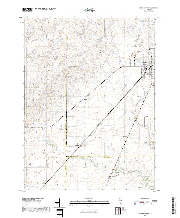
2024 Gibson City West
Ford County, IL
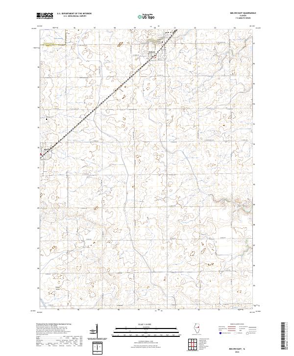
2024 Melvin East
Ford County, IL
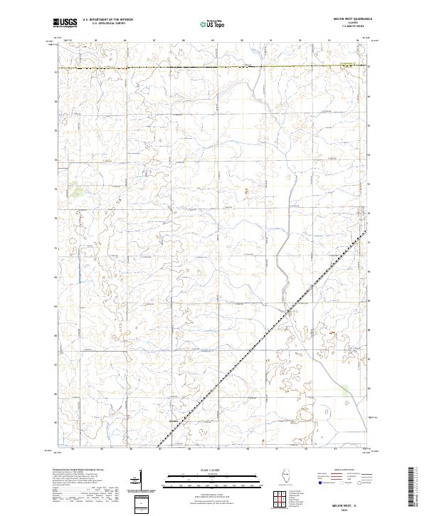
2024 Melvin West
Ford County, IL
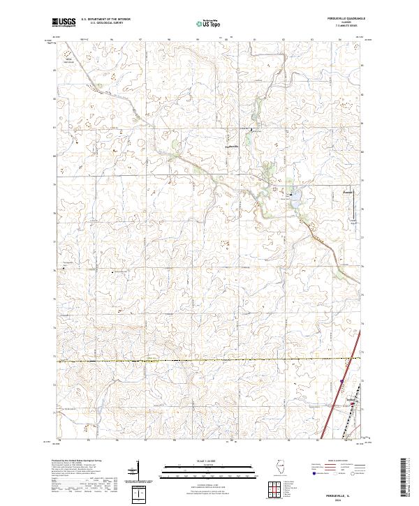
2024 Perdueville
Ford County, IL