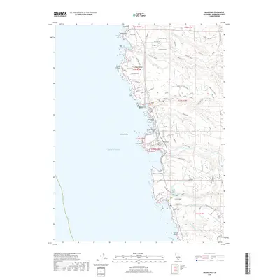
2018 Map of Mendocino
USGS Topo · Published 2018About this map
Mendocino and the surrounding coastline are documented in this 2018 survey, showcasing the enduring geography of the Mendocino County shore. The map details the transition from the rugged Pacific cliffs to the interior timberlands, linked by historical routes like Caspar Logging Rd. For those researching local history, the map identifies several distinct burial grounds, including Hillcrest Cem and Evergreen Cem near the headlands.
Find a feature on this map
102 named features on this map. Tap any name to fly to it.
Don’t see what you’re looking for? This feature index may not catch every label — zoom into the map to look around manually.
Map Details
Editions of this 2018 Mendocino Map
This is the sole edition of this map. No revisions or reprints were ever made.
Other maps of this area
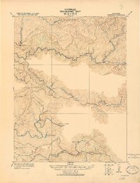
1920 · Glenblair
USGS Topo · 1:62,500
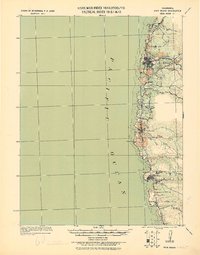
1920 · Fort Bragg
USGS Topo · 1:62,500
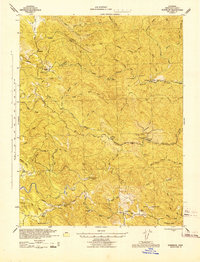
1943 · Glenblair
USGS Topo · 1:62,500
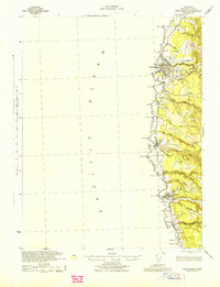
1943 · Fort Bragg
USGS Topo · 1:62,500
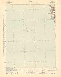
1943 · Albion
USGS Topo · 1:62,500
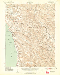
1943 · Navarro
USGS Topo · 1:62,500
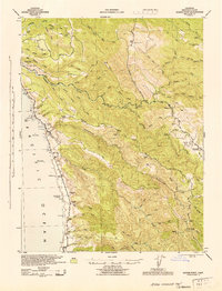
1944 · Saddle Point
USGS Topo · 1:62,500
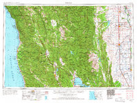
1957 · Ukiah
USGS Topo · 1:250,000
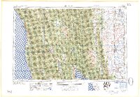
1960 · Ukiah
USGS Topo · 1:250,000
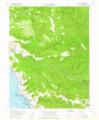
1960 · Elk
USGS Topo · 1:24,000