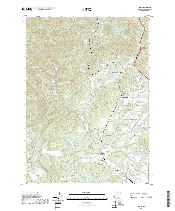
2023 Map of Merlin
USGS Topo · Published 2023About this map
Merlin and the neighboring settlements of Hugo, Three Pines, and Pleasant Valley anchor this Josephine County landscape. The terrain is defined by its complex drainage network, where Jumpoff Joe Creek and Louse Creek wind through deep gulches like Brimstone Gulch and Brockman Gulch. The transport corridor follows the natural notch at Sexton Mountain Pass, tracing a route alongside Maple Creek and Bummer Creek. While the lower elevations support residential clusters and the Grants Pass Airport, the higher ground is dotted with vital water sources such as Kennison Reservoir and numerous named springs like Olden Spring and Canteen Spring. This modern survey illustrates the interface between rural residential expansion and the managed water systems, including Barker Reservoir and Werner Reservoir, which are essential to the agricultural and domestic life of the valley.
Find a feature on this map
139 named features on this map. Tap any name to fly to it.
Don’t see what you’re looking for? This feature index may not catch every label — zoom into the map to look around manually.
Map Details
Editions of this 2023 Merlin Map
This is the sole edition of this map. No revisions or reprints were ever made.
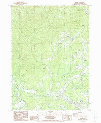
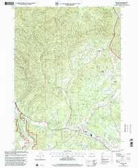
Historical Maps of Merlin Through Time
3 maps found