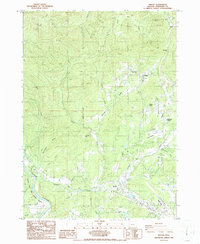
1986 Map of Merlin
USGS Topo · Published 1986About this map
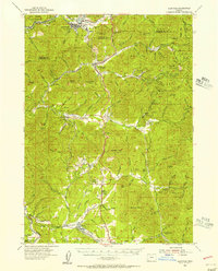
Rogue Wild and Scenic River flows through the southwestern corner of this Josephine County landscape, where the rugged terrain of the Klamath Mountains meets the established infrastructure of the mid-1980s. The settlement of Merlin serves as a local hub, flanked by the Merlin Sanitarium and the nearby Josephine County Airport. This era reveals a transition from traditional resource extraction, evidenced by the Copper Queen Mine and various quarries, to a more specialized rural residential pattern seen in Hugo and Pleasant Valley.
Find a feature on this map
41 named features on this map. Tap any name to fly to it.
Don’t see what you’re looking for? This feature index may not catch every label — zoom into the map to look around manually.
Map Details
Editions of this 1986 Merlin Map
This is the sole edition of this map. No revisions or reprints were ever made.
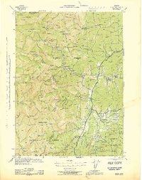
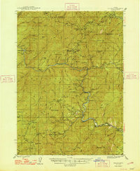
Other maps of this area

1904 · Riddle
USGS Topo · 1:125,000

1908 · Grants Pass
USGS Topo · 1:125,000

1917 · Kerby
USGS Topo · 1:125,000

1918 · Kerby
USGS Topo · 1:125,000
1945 · Kerby
USGS Topo · 1:125,000
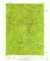
1946 · Galice
USGS Topo · 1:62,500
1948 · Galice
USGS Topo · 1:62,500
1954 · Glendale
USGS Topo · 1:62,500
1954 · Selma
USGS Topo · 1:62,500
1954 · Grants Pass
USGS Topo · 1:62,500