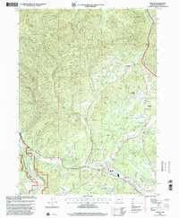
1998 Map of Merlin
USGS Topo · Published 2001About this map
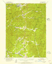
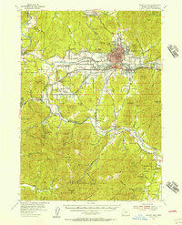
Merlin sits at the heart of this Southern Oregon landscape, where the valley floor meets the rising timber of the Sexton Mtn Pass area. This late-twentieth-century revision reveals a transitional community defined by both its natural resources and its developing infrastructure. The lower elevations are marked by the Josephine County Airport and the community of Pleasant Valley, while the higher ground to the north and west shows signs of industrial activity at the Copper Queen Mine and various quarries.
Find a feature on this map
34 named features on this map. Tap any name to fly to it.
Don’t see what you’re looking for? This feature index may not catch every label — zoom into the map to look around manually.
Map Details
Editions of this 1998 Merlin Map
This is the sole edition of this map. No revisions or reprints were ever made.
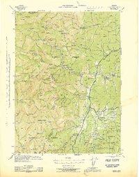
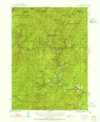
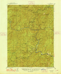
Other maps of this area

1904 · Riddle
USGS Topo · 1:125,000

1908 · Grants Pass
USGS Topo · 1:125,000

1917 · Kerby
USGS Topo · 1:125,000

1918 · Kerby
USGS Topo · 1:125,000
1945 · Kerby
USGS Topo · 1:125,000
1946 · Galice
USGS Topo · 1:62,500
1948 · Galice
USGS Topo · 1:62,500
1954 · Glendale
USGS Topo · 1:62,500
1954 · Selma
USGS Topo · 1:62,500
1954 · Grants Pass
USGS Topo · 1:62,500