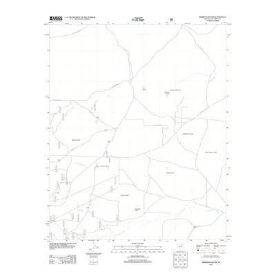
2011 Map of Merriam Crater
USGS Topo · Published 2011About this map
Merriam Crater and Merriam Mountain anchor this high-desert volcanic field in Coconino County, characterized by a dense concentration of cinder cones and drainage washes. The landscape is defined by its distinct geological formations, including the twin heights of North Sheba Crater and South Sheba Crater, alongside the prominent Maroon Crater. Human presence is minimal and largely centered on land management and ranching infrastructure, evidenced by the Rock House in the southeast and water management features like the Rio de Flag Trick Tank and Cone Water Tank.
Find a feature on this map
45 named features on this map. Tap any name to fly to it.
Don’t see what you’re looking for? This feature index may not catch every label — zoom into the map to look around manually.
Map Details
Editions of this 2011 Merriam Crater Map
This is the sole edition of this map. No revisions or reprints were ever made.
Other maps of this area

1886 · San Francisco Mtns
USGS Topo · 1:250,000

1891 · San Francisco Mtns
USGS Topo · 1:250,000

1894 · San Francisco Mtns
USGS Topo · 1:250,000

1899 · San Francisco Mtns
USGS Topo · 1:250,000

1947 · Flagstaff
USGS Topo · 1:250,000

1954 · Flagstaff
USGS Topo · 1:250,000

1958 · Flagstaff
USGS Topo · 1:250,000

1960 · Flagstaff
USGS Topo · 1:250,000

1962 · Flagstaff
USGS Topo · 1:250,000
1968 · Babbitt Wash
USGS Topo · 1:24,000