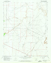
1968 Map of Babbitt Wash
USGS Topo · Published 1971About this map
The Navajo Indian Reservation landscape is defined by its deep desert drainages and the vital transit corridor of the Atchison Topeka and Santa Fe railroad in the late 1960s. This arid Coconino County terrain is etched with complex watercourses including Babbitt Wash, Padre Canyon, and Diablo Canyon, which converge and wind across the high plateau. The map captures a moment when land use was primarily focused on ranching and infrastructure, as evidenced by isolated water sources like Reservation Tank, a Well, and Reservation Well positioned to support livestock in the vast open range.
Find a feature on this map
15 named features on this map. Tap any name to fly to it.
Don’t see what you’re looking for? This feature index may not catch every label — zoom into the map to look around manually.
Map Details
Editions of this 1968 Babbitt Wash Map
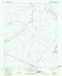
2 editions found
Other maps of this area

1886 · San Francisco Mtns
USGS Topo · 1:250,000

1891 · San Francisco Mtns
USGS Topo · 1:250,000

1894 · San Francisco Mtns
USGS Topo · 1:250,000

1899 · San Francisco Mtns
USGS Topo · 1:250,000

1947 · Flagstaff
USGS Topo · 1:250,000

1954 · Flagstaff
USGS Topo · 1:250,000

1958 · Flagstaff
USGS Topo · 1:250,000

1960 · Flagstaff
USGS Topo · 1:250,000

1962 · Flagstaff
USGS Topo · 1:250,000
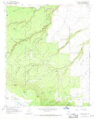
1968 · Elliott Canyon
USGS Topo · 1:24,000