2021 Map of Merriman
USGS Topo · Published 2021About this map
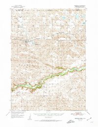
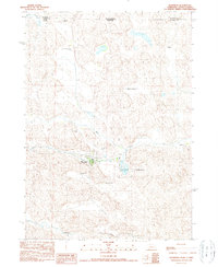
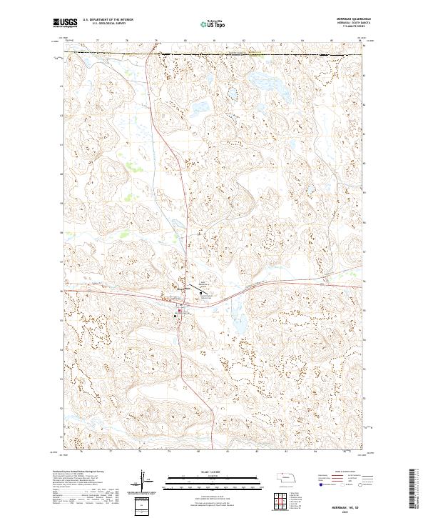
The village of Merriman serves as the focal point of this Nebraska Sandhills survey, situated at the intersection of local transportation routes and prairie drainage systems. The landscape is defined by its watercourses, including Heckel Cr and Bear Cr, which wind through the township boundaries of t35n r37w and t34n r38w. The presence of the Cowboy Trl spanning the center of the sheet reflects the repurposing of old rail corridors for modern recreational use, while the Cole Memorial Airport highlights the region's reliance on aviation in a sparsely populated ranching environment.
Find a feature on this map
15 named features on this map. Tap any name to fly to it.
Don’t see what you’re looking for? This feature index may not catch every label — zoom into the map to look around manually.
Map Details
Editions of this 2021 Merriman Map
This is the sole edition of this map. No revisions or reprints were ever made.
Historical Maps of Martin Through Time
3 maps found