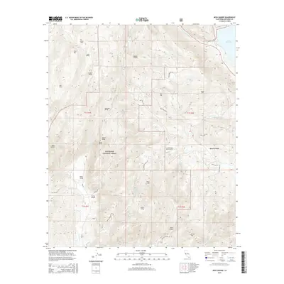
2015 Map of Mesa Grande
USGS Topo · Published 2015About this map
Mesa Grande sits on a plateau overlooking the northern reaches of the Cleveland National Forest in this survey. The landscape is defined by its dramatic relief, where high points like Angel Mtn and Corral Mtn descend into broad valleys and deep canyons. To the northeast, the waters of Lake Henshaw and the San Luis Rey River dominate the lowlands, while the western portion of the map is marked by the distinct Pamo Valley and Temescal Valley.
Find a feature on this map
46 named features on this map. Tap any name to fly to it.
Don’t see what you’re looking for? This feature index may not catch every label — zoom into the map to look around manually.
Map Details
Editions of this 2015 Mesa Grande Map
This is the sole edition of this map. No revisions or reprints were ever made.
Other maps of this area

1903 · Ramona
USGS Topo · 1:125,000

1904 · Southern California Sheet No. 2
USGS Topo · 1:250,000

1939 · Warner Springs
USGS Topo · 1:62,500

1939 · Santa Ysabel
USGS Topo · 1:62,500

1939 · Palomar Mountain
USGS Topo · 1:62,500

1942 · Ramona
USGS Topo · 1:62,500

1943 · Santa Ysabel
USGS Topo · 1:62,500

1943 · Warner Springs
USGS Topo · 1:62,500

1947 · Ramona
USGS Topo · 1:62,500

1947 · Santa Ana
USGS Topo · 1:250,000