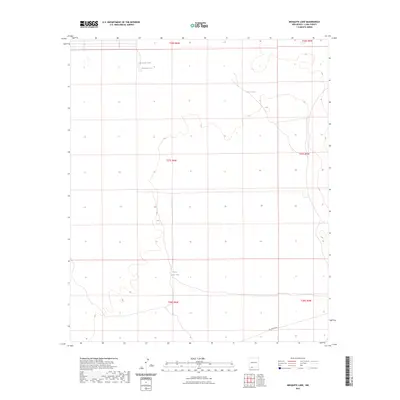
2023 Map of Mesquite Lake
USGS Topo · Published 2023About this map
Mesquite Lake and the nearby Mesquite Tank characterize this arid landscape in Luna County, where water management is the primary marker of human presence. This high-desert terrain is defined by its catchments and drainage patterns, with Perry Tank to the northeast and White Lakes Tank to the south serving as essential water sources for local ranching operations. The area is sparsely developed, with Pol Ranch Rd providing one of the few named access routes through the expansive township and range sections. The grid-like precision of the Public Land Survey System boundaries, such as t27s r6w, underscores the vast, open nature of this New Mexico territory, where subtle topographic changes and isolated tanks are the most significant landmarks for navigation and land use.
Find a feature on this map
11 named features on this map. Tap any name to fly to it.
Don’t see what you’re looking for? This feature index may not catch every label — zoom into the map to look around manually.
Map Details
Editions of this 2023 Mesquite Lake Map
This is the sole edition of this map. No revisions or reprints were ever made.
Other maps of this area

1899 · Deming
USGS Topo · 1:125,000

1915 · Deming
USGS Topo · 1:125,000

1917 · Camel Mountain
USGS Topo · 1:62,500

1917 · Columbus
USGS Topo · 1:62,500

1918 · Columbus
USGS Topo · 1:62,500

1920 · Columbus
USGS Topo · 1:62,500

1953 · El Paso
USGS Topo · 1:250,000

1955 · Las Cruces
USGS Topo · 1:250,000

1958 · Las Cruces
USGS Topo · 1:250,000

1959 · El Paso
USGS Topo · 1:250,000