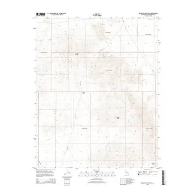
2015 Map of Mesquite Mountains
USGS Topo · Published 2015About this map
The Mesquite Mountains rise above the high desert floor in this arid corner of San Bernardino County, where the northern reaches of the Mojave Desert transition into the Mesquite Valley. This survey captures a landscape defined by its vital passage points, most notably Winters Pass and Mesquite Pass, which have historically provided transit through the rugged mountain range. The transport network is sparse but significant, featuring isolated desert tracks such as Kingston Rd and Excelsior Mine Rd. These routes hint at the region's mining and ranching history, linking remote topography to larger desert thoroughfares like Tecopa Rd. The map provides a detailed view of the township and range grid, illustrating the systematic division of this unpopulated terrain.
Find a feature on this map
15 named features on this map. Tap any name to fly to it.
Don’t see what you’re looking for? This feature index may not catch every label — zoom into the map to look around manually.
Map Details
Editions of this 2015 Mesquite Mountains Map
This is the sole edition of this map. No revisions or reprints were ever made.
Other maps of this area

1910 · Ivanpah
USGS Topo · 1:250,000

1912 · Ivanpah
USGS Topo · 1:250,000

1942 · Ivanpah
USGS Topo · 1:250,000

1947 · Kingman
USGS Topo · 1:250,000

1948 · Kingman
USGS Topo · 1:250,000

1954 · Kingman
USGS Topo · 1:250,000

1955 · Kingman
USGS Topo · 1:250,000

1955 · Kingston Peak
USGS Topo · 1:62,500

1956 · Clark Mountain
USGS Topo · 1:62,500

1956 · Shenandoah Peak
USGS Topo · 1:62,500