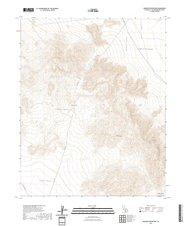
2021 Map of Mesquite Mountains
USGS Topo · Published 2021About this map
The Mesquite Mountains rise sharply between the high desert basins of the Mojave Desert and Shadow Valley in this modern topographic study of northeastern San Bernardino County. This arid landscape is defined by its topographic transition points, most notably Winter's Pass and Mesquite Pass, which have long served as the primary conduits for travel across this portion of the desert. The presence of Excelsior Mine Rd points to the region's enduring industrial legacy, where mining operations were dictated by the complex geology of the surrounding peaks. In the northern reaches of the map, the terrain levels out into the Mesquite Valley, where sparse infrastructure like Tecopa Rd and Texas Ln connects this remote corner of California to the broader interior.
Find a feature on this map
19 named features on this map. Tap any name to fly to it.
Don’t see what you’re looking for? This feature index may not catch every label — zoom into the map to look around manually.
Map Details
Editions of this 2021 Mesquite Mountains Map
This is the sole edition of this map. No revisions or reprints were ever made.
Other maps of this area

1910 · Ivanpah
USGS Topo · 1:250,000

1912 · Ivanpah
USGS Topo · 1:250,000

1942 · Ivanpah
USGS Topo · 1:250,000

1947 · Kingman
USGS Topo · 1:250,000

1948 · Kingman
USGS Topo · 1:250,000

1954 · Kingman
USGS Topo · 1:250,000

1955 · Kingman
USGS Topo · 1:250,000

1955 · Kingston Peak
USGS Topo · 1:62,500

1956 · Clark Mountain
USGS Topo · 1:62,500

1956 · Shenandoah Peak
USGS Topo · 1:62,500