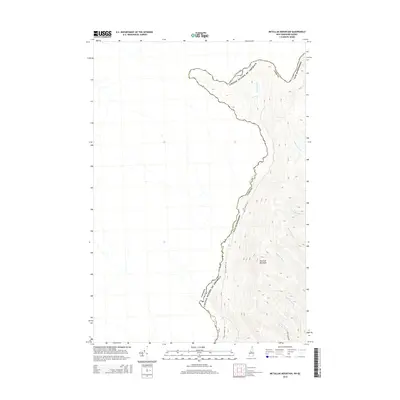
2015 Map of Metallak Mountain
USGS Topo · Published 2015About this map
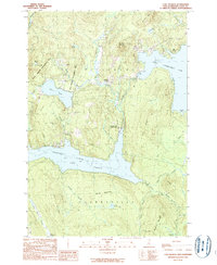
Halls Stream serves as the international boundary between New Hampshire, United States, and Canada along the northwestern edge of Coos County. This modern topographic survey illustrates the transition from the winding stream valley to the heights of Metallak Mountain. The landscape is defined by a series of drainages feeding into the main waterway, including Jobbers Brook, Graham Brook, and Abbott Brook. Accessibility is largely restricted to the valley floor via Halls Stream Rd, while further south, Roby Brook Rd provides access to the area around Roby Brook. Other features such as Schoppe Brook and Leighton Brook highlight the numerous small watercourses that carve through the upland terrain of Coos County.
Find a feature on this map
13 named features on this map. Tap any name to fly to it.
Don’t see what you’re looking for? This feature index may not catch every label — zoom into the map to look around manually.
Map Details
Editions of this 2015 Metallak Mountain Map
This is the sole edition of this map. No revisions or reprints were ever made.
Other maps of this area

1925 · Indian Stream
USGS Topo · 1:48,000

1926 · Indian Stream
USGS Topo · 1:62,500

1927 · Indian Stream
USGS Topo · 1:62,500

1949 · Jackman
USGS Topo · 1:250,000

1963 · Jackman
USGS Topo · 1:250,000

1966 · Sherbrooke
USGS Topo · 1:250,000
1976 · Sherbrooke
USGS Topo · 1:250,000
1986 · Sherbrooke
USGS Topo · 1:100,000
1989 · Pittsburg
USGS Topo · 1:24,000
1989 · Lake Francis
USGS Topo · 1:24,000