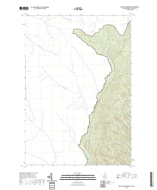
2024 Map of Metallak Mountain
USGS Topo · Published 2024About this map
Halls Stream serves as the international boundary between Coos County, New Hampshire, and Canada on this topographic survey. The landscape is dominated by the prominence of Metallak Mtn, with the surrounding terrain heavily dissected by numerous watercourses including Jobbers Brook, Graham Brook, and Leighton Brook. A single primary corridor, Halls Stream Rd, follows the valley floor, providing the only significant road access through this borderland region.
Find a feature on this map
14 named features on this map. Tap any name to fly to it.
Don’t see what you’re looking for? This feature index may not catch every label — zoom into the map to look around manually.
Map Details
Editions of this 2024 Metallak Mountain Map
This is the sole edition of this map. No revisions or reprints were ever made.
Other maps of this area

1925 · Indian Stream
USGS Topo · 1:48,000

1926 · Indian Stream
USGS Topo · 1:62,500

1927 · Indian Stream
USGS Topo · 1:62,500

1949 · Jackman
USGS Topo · 1:250,000

1963 · Jackman
USGS Topo · 1:250,000

1966 · Sherbrooke
USGS Topo · 1:250,000
1976 · Sherbrooke
USGS Topo · 1:250,000
1986 · Sherbrooke
USGS Topo · 1:100,000
1989 · Pittsburg
USGS Topo · 1:24,000
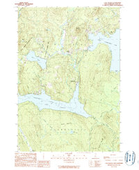
1989 · Lake Francis
USGS Topo · 1:24,000