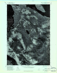
1977 Map of Metallak Mountain
USGS Topo · Published 1983About this map
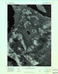
Metallak Mountain and Elephant Mountain anchor this orthophotographic study of the western Maine woods during the late 1970s. This specific type of map, created from aerial photography, reveals the dense timber patterns and water systems of the Rangeley Lakes region with photographic precision. The imagery captures the expansive waters of Richardson Lake to the west and Mooselookmeguntic Lake to the north, connected by the drainage of Mosquito Brook. The interior landscape is dominated by heavy forestation surrounding Metallak Pond, providing a look at the commercial timberlands and natural drainages before further modern development. Unlike traditional topographic lines, this aerial perspective shows the actual texture of the canopy and the exact shoreline of South Arm Lake, making it a valuable tool for understanding the environmental state of Oxford County at this moment in time.
Find a feature on this map
7 named features on this map. Tap any name to fly to it.
Don’t see what you’re looking for? This feature index may not catch every label — zoom into the map to look around manually.
Map Details
Editions of this 1977 Metallak Mountain Map
2 editions found
Other maps of this area

1927 · Rumford
USGS Topo · 1:48,000

1930 · Rumford
USGS Topo · 1:62,500

1933 · Rangeley
USGS Topo · 1:48,000

1939 · Rangeley
USGS Topo · 1:62,500

1940 · Oquossoc
USGS Topo · 1:62,500

1942 · Oquossoc
USGS Topo · 1:62,500

1943 · Old Speck Mtn
USGS Topo · 1:62,500

1945 · Old Speck Mtn
USGS Topo · 1:62,500

1949 · Rangeley
USGS Topo · 1:62,500

1950 · Lewiston
USGS Topo · 1:250,000