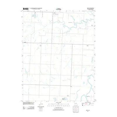
2011 Map of Metz
USGS Topo · Published 2011About this map
The settlement of Metz sits near the northern boundary of this Vernon County landscape, where the Little Osage River meanders through a network of small streams and floodplains. The map reveals a rural character defined by scattered communities like Rinehart, Blaine, and Hong, each connected by a grid of local roads including Osage St and School House Rd. This 2011 survey is particularly valuable for genealogists, as it documents numerous family and community burial grounds across the township, such as Pryor Creek Cemetery, Summers Cemetery, and the Balltown Cemetery near the eastern edge.
Find a feature on this map
26 named features on this map. Tap any name to fly to it.
Don’t see what you’re looking for? This feature index may not catch every label — zoom into the map to look around manually.
Map Details
Editions of this 2011 Metz Map
This is the sole edition of this map. No revisions or reprints were ever made.
Other maps of this area

1884 · Fort Scott
USGS Topo · 1:125,000

1886 · Nevada
USGS Topo · 1:125,000

1886 · Fort Scott
USGS Topo · 1:125,000

1887 · Butler
USGS Topo · 1:125,000

1887 · Mound City
USGS Topo · 1:125,000

1893 · Fort Scott
USGS Topo · 1:125,000

1893 · Mound City
USGS Topo · 1:125,000

1894 · Butler
USGS Topo · 1:125,000

1894 · Nevada
USGS Topo · 1:125,000

1933 · Camp Clark
USGS Topo · 1:24,000