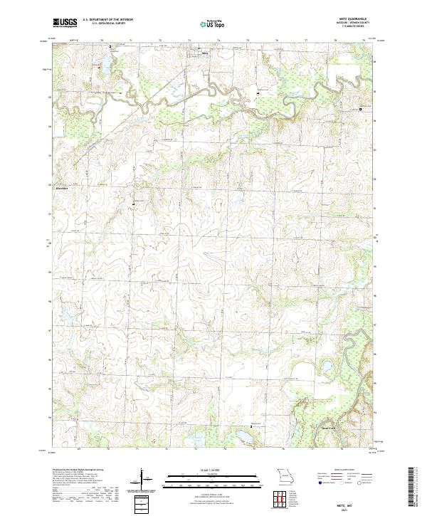
2021 Map of Metz
USGS Topo · Published 2021About this map
Metz stands as the primary settlement in this northern Vernon County landscape, situated just north of the meandering Little Osage River. The river valley is defined by complex water features such as Townsend Slough and Pryor Creek, illustrating a floodplain environment that has shaped local agriculture and road patterns. Further south, the terrain levels out before reaching the Marmaton River and the settlement of Dean Ford.
Find a feature on this map
58 named features on this map. Tap any name to fly to it.
Don’t see what you’re looking for? This feature index may not catch every label — zoom into the map to look around manually.
Map Details
Editions of this 2021 Metz Map
This is the sole edition of this map. No revisions or reprints were ever made.
Other maps of this area

1884 · Fort Scott
USGS Topo · 1:125,000

1886 · Nevada
USGS Topo · 1:125,000

1886 · Fort Scott
USGS Topo · 1:125,000

1887 · Butler
USGS Topo · 1:125,000

1887 · Mound City
USGS Topo · 1:125,000

1893 · Fort Scott
USGS Topo · 1:125,000

1893 · Mound City
USGS Topo · 1:125,000

1894 · Butler
USGS Topo · 1:125,000

1894 · Nevada
USGS Topo · 1:125,000

1933 · Camp Clark
USGS Topo · 1:24,000