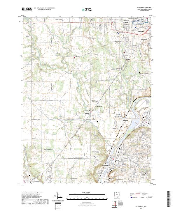
2023 Map of Miamisburg
USGS Topo · Published 2023About this map
The Great Miami River corridor south of Dayton reveals a landscape heavily shaped by pre-colonial and industrial history. This modern survey documents the suburban expansion and preserved landmarks of Montgomery County, including the prominent Miamisburg Mound and the concentration of towns along the river such as Miamisburg, West Carrollton, and Moraine. The western half of the map remains more open, defined by the winding paths of Bear Creek and Little Twin Creek, and dotted with small named settlements like Liberty and Ellerton. Genealogists will find an exceptionally dense collection of burial sites, ranging from the County Infirmary Cem in the north to the Highland Memorial Cem and Gebhart Church Cem near the southern boundary. The map also traces the legacy of early transit routes, such as the Dayton Germantown Pike and Eaton Pike, which connect the outlying rural areas to the urban centers.
Find a feature on this map
54 named features on this map. Tap any name to fly to it.
Don’t see what you’re looking for? This feature index may not catch every label — zoom into the map to look around manually.
Map Details
Editions of this 2023 Miamisburg Map
This is the sole edition of this map. No revisions or reprints were ever made.
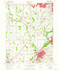
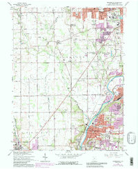
Historical Maps of Frytown Through Time
4 maps found