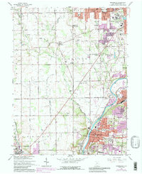
1965 Map of Miamisburg
USGS Topo · Published 1988About this map
Miamisburg Mound State Memorial dominates the southern landscape, reflecting a pre-European history that persists alongside the heavy industrial and institutional development of the mid-20th century. The Great Miami River valley serves as the primary corridor for growth, carrying both the Penn Central and Baltimore and Ohio railroads through established hubs like Miamisburg and West Carrollton. To the north, the sprawling Veterans Administration Center and the Dayton Correction Farm signify the area's role in regional state and federal infrastructure.
Find a feature on this map
104 named features on this map. Tap any name to fly to it.
Don’t see what you’re looking for? This feature index may not catch every label — zoom into the map to look around manually.
Map Details
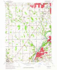
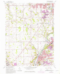
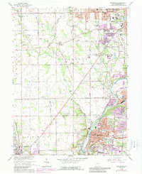
Editions of this 1965 Miamisburg Map
4 editions found
Other maps of this area

1904 · Dayton
USGS Topo · 1:62,500

1905 · Brookville
USGS Topo · 1:62,500

1906 · Dayton
USGS Topo · 1:62,500

1908 · Miamisburg
USGS Topo · 1:62,500

1913 · Waynesville
USGS Topo · 1:62,500

1915 · Waynesville
USGS Topo · 1:62,500

1951 · Franklin
USGS Topo · 1:24,000

1953 · Cincinnati
USGS Topo · 1:250,000

1955 · Miamisburg
USGS Topo · 1:24,000

1955 · Dayton South
USGS Topo · 1:24,000