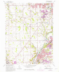
1965 Map of Miamisburg
USGS Topo · Published 1976About this map
The Great Miami River corridor south of Dayton anchors this mid-1960s survey, highlighting the industrial and institutional expansion of Miamisburg and West Carrollton. The map reveals a landscape defined by the heavy infrastructure of the era, from the sprawling Veterans Administration Center and Mound Laboratory to the active rail lines of the B & O RR and Penn Central. This period shows the transition from rural townships like Jefferson and German into suburban nodes, evidenced by the proliferation of schools like Jane Addams Sch and Carlson Sch.
Find a feature on this map
88 named features on this map. Tap any name to fly to it.
Don’t see what you’re looking for? This feature index may not catch every label — zoom into the map to look around manually.
Map Details
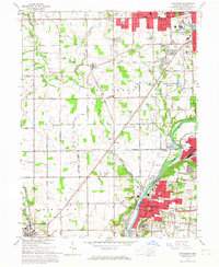
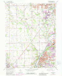
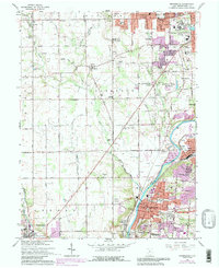
Editions of this 1965 Miamisburg Map
4 editions found
Other maps of this area

1904 · Dayton
USGS Topo · 1:62,500

1905 · Brookville
USGS Topo · 1:62,500

1906 · Dayton
USGS Topo · 1:62,500

1908 · Miamisburg
USGS Topo · 1:62,500

1913 · Waynesville
USGS Topo · 1:62,500

1915 · Waynesville
USGS Topo · 1:62,500

1951 · Franklin
USGS Topo · 1:24,000

1953 · Cincinnati
USGS Topo · 1:250,000

1955 · Miamisburg
USGS Topo · 1:24,000

1955 · Dayton South
USGS Topo · 1:24,000