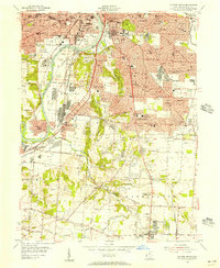
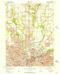
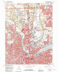
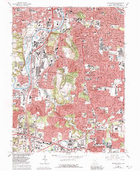
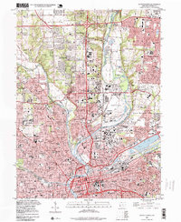
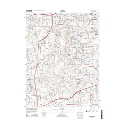
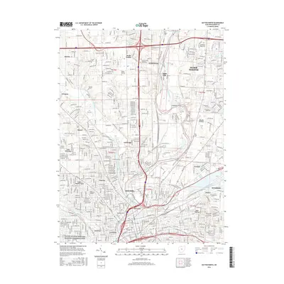
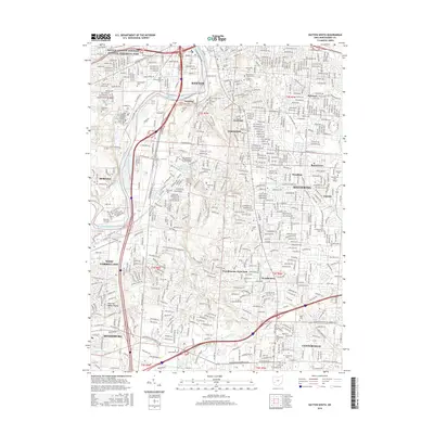
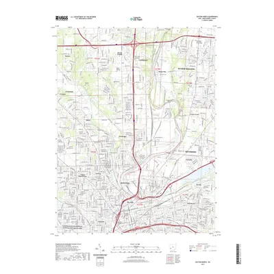
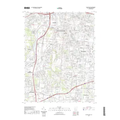
1955 Map of Dayton South
USGS Topo · Published 1956About this map
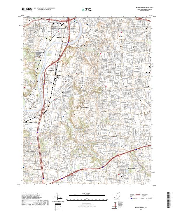
The southern suburbs of Dayton and the agricultural lands of Washington township are caught in a moment of rapid postwar expansion. While the core of the city is densely developed around the Miami River and Mad River confluence, the southern periphery reveals the early layouts of Kettering and Moraine. This 1950s survey documents significant institutional footprints, from the University of Dayton and Dayton State Hospital to the large U S Military Reservation (Gentile Depot).
Find a feature on this map
87 named features on this map. Tap any name to fly to it.
Don’t see what you’re looking for? This feature index may not catch every label — zoom into the map to look around manually.
Map Details
Editions of this 1955 Dayton South Map
This is the sole edition of this map. No revisions or reprints were ever made.
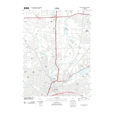
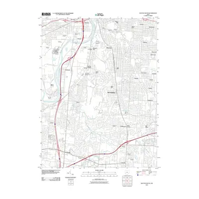
Historical Maps of Dayton Through Time
15 maps found
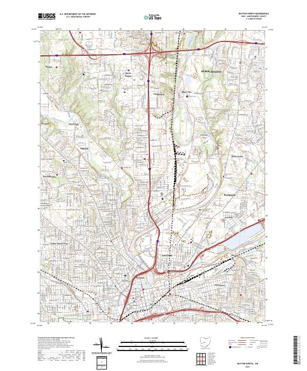
1955 Dayton North
Montgomery County, OH
1955 Dayton South
Montgomery County, OH
1965 Dayton North
Montgomery County, OH
1966 Dayton South
Montgomery County, OH
1996 Dayton North
Montgomery County, OH
2010 Dayton North
Montgomery County, OH
2010 Dayton South
Montgomery County, OH
2013 Dayton North
Montgomery County, OH
2013 Dayton South
Montgomery County, OH
2016 Dayton North
Montgomery County, OH
2016 Dayton South
Montgomery County, OH
2019 Dayton North
Montgomery County, OH
2019 Dayton South
Montgomery County, OH
2023 Dayton North
Montgomery County, OH
2023 Dayton South
Montgomery County, OH