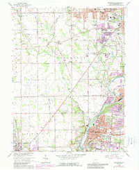
1965 Map of Miamisburg
USGS Topo · Published 1988About this map
Miamisburg and West Carrollton anchor this mid-century landscape along the Great Miami River, where industrial expansion meets deep-rooted local history. The presence of the Mound Laboratory and the nearby Miamisburg Mound State Memorial represents a unique intersection of prehistoric earthworks and Cold War-era research. The river corridor serves as a busy transit artery, with the Penn Central railroad following the water's edge through Whitfield toward the urban centers of Moraine and Dayton.
Find a feature on this map
71 named features on this map. Tap any name to fly to it.
Don’t see what you’re looking for? This feature index may not catch every label — zoom into the map to look around manually.
Map Details
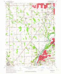
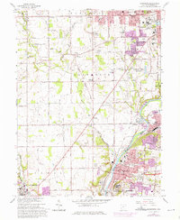
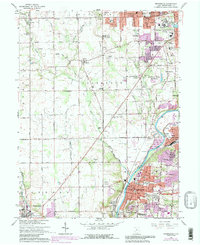
Editions of this 1965 Miamisburg Map
4 editions found
Other maps of this area

1904 · Dayton
USGS Topo · 1:62,500

1905 · Brookville
USGS Topo · 1:62,500

1906 · Dayton
USGS Topo · 1:62,500

1908 · Miamisburg
USGS Topo · 1:62,500

1913 · Waynesville
USGS Topo · 1:62,500

1915 · Waynesville
USGS Topo · 1:62,500

1951 · Franklin
USGS Topo · 1:24,000

1953 · Cincinnati
USGS Topo · 1:250,000

1955 · Miamisburg
USGS Topo · 1:24,000

1955 · Dayton South
USGS Topo · 1:24,000