
Loading...
Loading map...1908 Map of Miamisburg
USGS Topo · Published 1948About this map
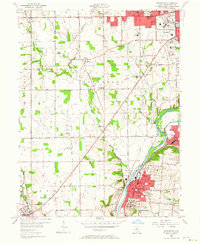
The Miami River corridor dominates this early twentieth-century landscape, serving as a busy artery for the Erie and Miami Canal and multiple competing traction lines like the Dayton and Miami Valley Electric. The map illustrates a transitional period for water management in the Miami Valley; while surveyed in 1905, later additions from 1940 records show the Germantown Dam and its associated flooding area along Twin Creek.
Find a feature on this map
63 named features on this map. Tap any name to fly to it.
Don’t see what you’re looking for? This feature index may not catch every label — zoom into the map to look around manually.
Map Details
Date Portrayed1908
Date Published1948
PublisherU.S. Geological Survey
Map TypeTopographic
Scale1:62500
Physical Dimensions17 x 20.8 inches
Editions of this 1908 Miamisburg Map
This is the sole edition of this map. No revisions or reprints were ever made.
Historical Maps of Dayton Through Time
4 maps found
Featured Locations
Source Details
SourceU.S. Geological Survey
CopyrightPublic Domain