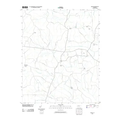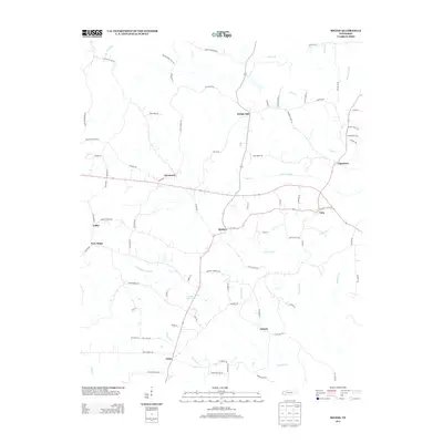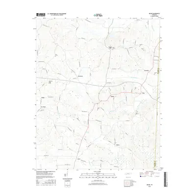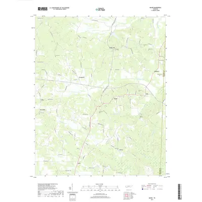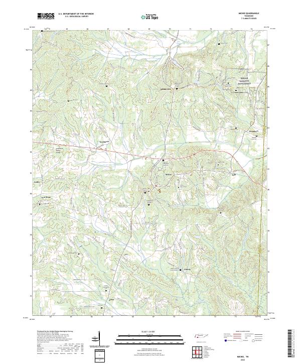
2022 Map of Michie
USGS Topo · Published 2022About this map
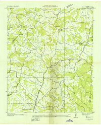
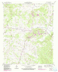
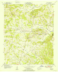
Shiloh National Battlefield occupies the northeastern corner of this landscape, marking a site of immense significance at the Tennessee border. The terrain is defined by the Tennessee Valley Divide, where the headwaters of numerous creeks including Lick Creek and Owl Creek begin their descent. Small communities such as Michie, Acton, and Pebble Hill are scattered across the quadrangle, connected by a dense network of rural roads like the Miche-Pebble Hill Road and Taylor Road.
Find a feature on this map
115 named features on this map. Tap any name to fly to it.
Don’t see what you’re looking for? This feature index may not catch every label — zoom into the map to look around manually.
Map Details
Editions of this 2022 Michie Map
This is the sole edition of this map. No revisions or reprints were ever made.
Historical Maps of Michie Through Time
8 maps found