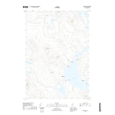
2018 Map of Middle Dam
USGS Topo · Published 2018About this map
Middle Dam sits at the heart of this Maine backcountry landscape, regulating the flow between the expansive Upper Richardson Lake and Lower Richardson Lake. The area's complex hydrology is defined by the Rapid River drainage, which connects the Richardson system toward Pond in the River and eventually Umbagog Lake to the west. This territory is characterized by significant elevations including Moose Mtn, Johnson Mtn, and Black Cat Mtn, separated by deep glacial coves such as Halfmoon Cove and Spaulding Cove.
Find a feature on this map
40 named features on this map. Tap any name to fly to it.
Don’t see what you’re looking for? This feature index may not catch every label — zoom into the map to look around manually.
Map Details
Editions of this 2018 Middle Dam Map
This is the sole edition of this map. No revisions or reprints were ever made.
Other maps of this area

1930 · Milan
USGS Topo · 1:62,500

1930 · Errol
USGS Topo · 1:62,500

1933 · Milan
USGS Topo · 1:62,500

1934 · Errol
USGS Topo · 1:62,500

1934 · Milan
USGS Topo · 1:62,500

1940 · Oquossoc
USGS Topo · 1:62,500

1942 · Oquossoc
USGS Topo · 1:62,500

1943 · Old Speck Mtn
USGS Topo · 1:62,500

1945 · Old Speck Mtn
USGS Topo · 1:62,500

1950 · Lewiston
USGS Topo · 1:250,000