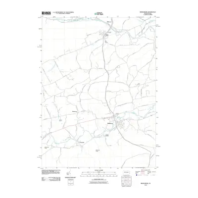
2010 Map of Middleburg
USGS Topo · Published 2010About this map
Middleburg serves as a central hub in this Snyder County landscape, situated where several local routes and watercourses converge. The area’s settlement pattern is closely tied to the winding paths of Middle Creek and Penns Creek, with smaller communities like Paxtonville, Kissimmee, and Coon Hunter clustered along the valley floors. The surrounding terrain is defined by prominent elevations such as Limestone Ridge and Block Ore Ridge, which likely influenced the historical agricultural and industrial development of the region.
Find a feature on this map
79 named features on this map. Tap any name to fly to it.
Don’t see what you’re looking for? This feature index may not catch every label — zoom into the map to look around manually.
Map Details
Editions of this 2010 Middleburg Map
This is the sole edition of this map. No revisions or reprints were ever made.
Other maps of this area
1893 · Sunbury
USGS Topo · 1:62,500

1893 · Millersburg
USGS Topo · 1:62,500

1907 · Millerstown
USGS Topo · 1:62,500
1938 · Mifflinburg
USGS Topo · 1:48,000
1943 · Millerstown
USGS Topo · 1:62,500
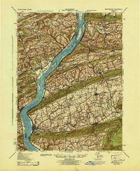
1943 · Millersburg
USGS Topo · 1:62,500
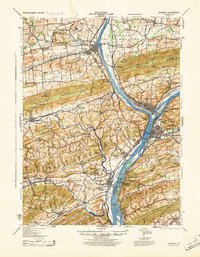
1943 · Sunbury
USGS Topo · 1:62,500
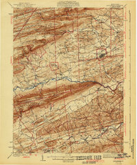
1943 · Mifflinburg
USGS Topo · 1:62,500
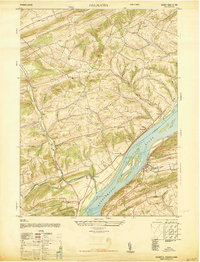
1947 · Dalmatia
USGS Topo · 1:24,000

1950 · Harrisburg
USGS Topo · 1:250,000
Featured Places
- Middleburg, PA
- Perry Township, PA
- Center Township, PA
- Wildwood, Limestone Township
- Washington Township, PA