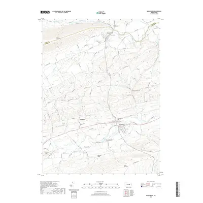
2019 Map of Middleburg
USGS Topo · Published 2019About this map
The Snyder County Courthouse serves as the focal point of Middleburg, a community shaped by the geography of central Pennsylvania. The terrain is defined by the prominent ridges of Jacks Mountain to the northwest and Shade Mountain to the south, creating a corridor of settlements and agricultural land between them. Middle Creek and its various tributaries, including the N Br Middle Cr, wind through these valleys, connecting smaller locales like Kissimmee and Paxtonville.
Find a feature on this map
135 named features on this map. Tap any name to fly to it.
Don’t see what you’re looking for? This feature index may not catch every label — zoom into the map to look around manually.
Map Details
Editions of this 2019 Middleburg Map
This is the sole edition of this map. No revisions or reprints were ever made.
Other maps of this area

1893 · Sunbury
USGS Topo · 1:62,500

1893 · Millersburg
USGS Topo · 1:62,500

1907 · Millerstown
USGS Topo · 1:62,500

1938 · Mifflinburg
USGS Topo · 1:48,000

1943 · Millerstown
USGS Topo · 1:62,500

1943 · Millersburg
USGS Topo · 1:62,500

1943 · Sunbury
USGS Topo · 1:62,500

1943 · Mifflinburg
USGS Topo · 1:62,500
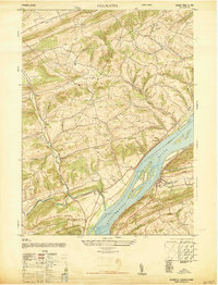
1947 · Dalmatia
USGS Topo · 1:24,000

1950 · Harrisburg
USGS Topo · 1:250,000
Featured Places
- Middleburg, PA
- Perry Township, PA
- Center Township, PA
- Wildwood, Limestone Township
- Washington Township, PA