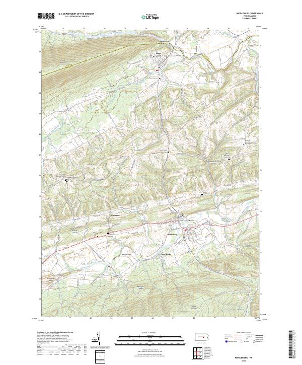
2023 Map of Middleburg
USGS Topo · Published 2023About this map
Middleburg serves as the seat of Snyder County, with the Snyder County Courthouse anchoring a grid of streets between Middle Creek and the rising slopes of Shade Mountain. This central Pennsylvania landscape is defined by its long, parallel ridges and the agricultural valleys tucked between them, where small communities like Paxtonville, Kissimmee, and Penns Creek have long established their presence. The density of cemeteries, such as Hassingers Old Cem and Glendale Cem, reflects a deep-rooted lineage of settlement along the valley floors.
Find a feature on this map
116 named features on this map. Tap any name to fly to it.
Don’t see what you’re looking for? This feature index may not catch every label — zoom into the map to look around manually.
Map Details
Editions of this 2023 Middleburg Map
This is the sole edition of this map. No revisions or reprints were ever made.
Other maps of this area
1893 · Sunbury
USGS Topo · 1:62,500

1893 · Millersburg
USGS Topo · 1:62,500

1907 · Millerstown
USGS Topo · 1:62,500
1938 · Mifflinburg
USGS Topo · 1:48,000
1943 · Millerstown
USGS Topo · 1:62,500
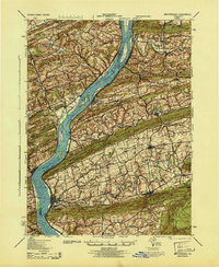
1943 · Millersburg
USGS Topo · 1:62,500
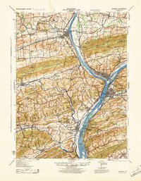
1943 · Sunbury
USGS Topo · 1:62,500
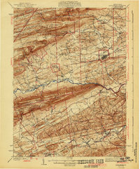
1943 · Mifflinburg
USGS Topo · 1:62,500
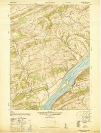
1947 · Dalmatia
USGS Topo · 1:24,000

1950 · Harrisburg
USGS Topo · 1:250,000