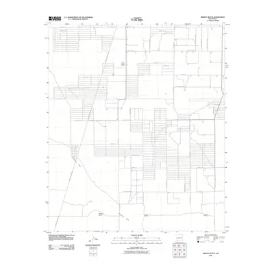
2010 Map of Midway Butte
USGS Topo · Published 2010About this map
Luna Landing Airport serves as a focal point for this high-desert landscape in Luna County, where a rigid grid of rural roads meets the natural contours of the Chihuahuan Desert. The map reveals an area defined by agricultural and residential parceling, with roads like Hondale Ave and Camino Dos SW structuring the northern landscape. Water management in this arid environment is evidenced by the presence of the Rainbow Windmill and Donahue Windmill, essential infrastructure for ranching and survival in the basin.
Find a feature on this map
39 named features on this map. Tap any name to fly to it.
Don’t see what you’re looking for? This feature index may not catch every label — zoom into the map to look around manually.
Map Details
Editions of this 2010 Midway Butte Map
This is the sole edition of this map. No revisions or reprints were ever made.
Other maps of this area

1899 · Deming
USGS Topo · 1:125,000

1915 · Deming
USGS Topo · 1:125,000

1917 · Hermanas
USGS Topo · 1:62,500

1917 · Columbus
USGS Topo · 1:62,500

1918 · Columbus
USGS Topo · 1:62,500

1918 · Hermanas
USGS Topo · 1:62,500

1920 · Columbus
USGS Topo · 1:62,500

1943 · Hermanas
USGS Topo · 1:62,500

1953 · El Paso
USGS Topo · 1:250,000

1955 · Las Cruces
USGS Topo · 1:250,000