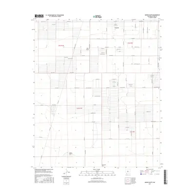
2017 Map of Midway Butte
USGS Topo · Published 2017About this map
Sunshine sits in the northern reaches of this high desert landscape, characterized by a grid-like network of rural roads and agricultural tracts in Luna County. The terrain is largely defined by the prominent Midway Butte and the drainage of Seventysix Draw to the south. This area illustrates the late 20th-century expansion of rural residential and agricultural surveying, with road names reflecting local crops and land use, such as Chile Verde, Melon Rd, and Cacahuate.
Find a feature on this map
76 named features on this map. Tap any name to fly to it.
Don’t see what you’re looking for? This feature index may not catch every label — zoom into the map to look around manually.
Map Details
Editions of this 2017 Midway Butte Map
This is the sole edition of this map. No revisions or reprints were ever made.
Other maps of this area

1899 · Deming
USGS Topo · 1:125,000

1915 · Deming
USGS Topo · 1:125,000

1917 · Hermanas
USGS Topo · 1:62,500

1917 · Columbus
USGS Topo · 1:62,500

1918 · Columbus
USGS Topo · 1:62,500

1918 · Hermanas
USGS Topo · 1:62,500

1920 · Columbus
USGS Topo · 1:62,500

1943 · Hermanas
USGS Topo · 1:62,500

1953 · El Paso
USGS Topo · 1:250,000

1955 · Las Cruces
USGS Topo · 1:250,000