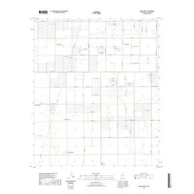
2020 Map of Midway Butte
USGS Topo · Published 2020About this map
Midway Butte rises above a landscape defined by an extensive grid of agricultural and rural residential corridors in this southern New Mexico region. The terrain is notably marked by the passage of Seventysix Draw, which provides a natural contrast to the geometric precision of the surrounding road network. Small centers of activity and named points like Luna Landing, Chile Verde, and Cacahuate are connected by a web of thoroughfares such as Hermanas Grade SW and Columbus RD. This layout reflects a modern era of land management and rural development in Luna County, where the desert flats are systematically organized into large tracts. The infrastructure is anchored by key routes including Gage Station Rd and Hondale Ave, which serve as the primary conduits for this expansive, high-desert community.
Find a feature on this map
76 named features on this map. Tap any name to fly to it.
Don’t see what you’re looking for? This feature index may not catch every label — zoom into the map to look around manually.
Map Details
Editions of this 2020 Midway Butte Map
This is the sole edition of this map. No revisions or reprints were ever made.
Other maps of this area

1899 · Deming
USGS Topo · 1:125,000

1915 · Deming
USGS Topo · 1:125,000

1917 · Hermanas
USGS Topo · 1:62,500

1917 · Columbus
USGS Topo · 1:62,500

1918 · Columbus
USGS Topo · 1:62,500

1918 · Hermanas
USGS Topo · 1:62,500

1920 · Columbus
USGS Topo · 1:62,500

1943 · Hermanas
USGS Topo · 1:62,500

1953 · El Paso
USGS Topo · 1:250,000

1955 · Las Cruces
USGS Topo · 1:250,000