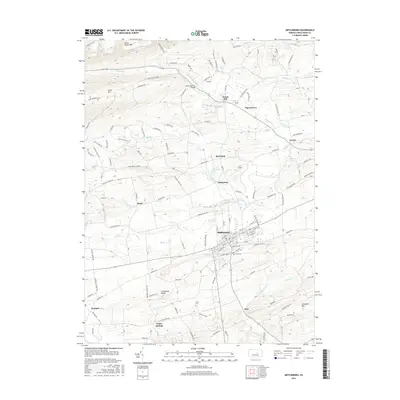
2016 Map of Mifflinburg
USGS Topo · Published 2016About this map
Mifflinburg stands as the central hub of this region, displaying a grid of streets such as Market and Chestnut that transition into the agricultural valleys of Union County. To the north, the landscape is defined by the sharp rise of Seven Notch Mtn and Jones Mtn, where Rapid Run carves through the narrow gaps. The intersection of local history and modern infrastructure is visible at the End O'Narrows Bridge and the small J F T Airport situated near Johnstown.
Find a feature on this map
143 named features on this map. Tap any name to fly to it.
Don’t see what you’re looking for? This feature index may not catch every label — zoom into the map to look around manually.
Map Details
Editions of this 2016 Mifflinburg Map
This is the sole edition of this map. No revisions or reprints were ever made.
Other maps of this area

1893 · Sunbury
USGS Topo · 1:62,500

1921 · Williamsport
USGS Topo · 1:48,000

1923 · Williamsport
USGS Topo · 1:62,500

1924 · Milton
USGS Topo · 1:62,500

1938 · Mifflinburg
USGS Topo · 1:48,000

1943 · Sunbury
USGS Topo · 1:62,500

1943 · Mifflinburg
USGS Topo · 1:62,500

1944 · Williamsport
USGS Topo · 1:62,500

1950 · Harrisburg
USGS Topo · 1:250,000
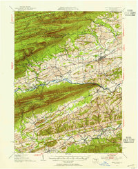
1953 · Mifflinburg
USGS Topo · 1:62,500
Featured Places
- Mifflinburg, PA
- Buffalo Township, PA
- Johnstown, West Buffalo Township
- Dice, Limestone Township
- Cowan, Buffalo Township