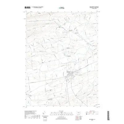
2019 Map of Mifflinburg
USGS Topo · Published 2019About this map
Mifflinburg serves as the central hub of this Union County landscape, where the grid of the borough meets the winding waters of the N Br Buffalo Cr. To the north, the terrain rises sharply toward Seven Notch Mtn and Jones Mtn, while the valley below is dotted with small rural communities like Forest Hill, Tannertown, and Red Bank. The agricultural character of the region is evident in the numerous family and community burial grounds, including Old Cedar Cem near Swengel and Lewis Cem situated south of the main town.
Find a feature on this map
114 named features on this map. Tap any name to fly to it.
Don’t see what you’re looking for? This feature index may not catch every label — zoom into the map to look around manually.
Map Details
Editions of this 2019 Mifflinburg Map
This is the sole edition of this map. No revisions or reprints were ever made.
Other maps of this area

1893 · Sunbury
USGS Topo · 1:62,500

1921 · Williamsport
USGS Topo · 1:48,000

1923 · Williamsport
USGS Topo · 1:62,500

1924 · Milton
USGS Topo · 1:62,500

1938 · Mifflinburg
USGS Topo · 1:48,000

1943 · Sunbury
USGS Topo · 1:62,500

1943 · Mifflinburg
USGS Topo · 1:62,500

1944 · Williamsport
USGS Topo · 1:62,500

1950 · Harrisburg
USGS Topo · 1:250,000
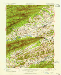
1953 · Mifflinburg
USGS Topo · 1:62,500
Featured Places
- Mifflinburg, PA
- Buffalo Township, PA
- Johnstown, West Buffalo Township
- Dice, Limestone Township
- Cowan, Buffalo Township