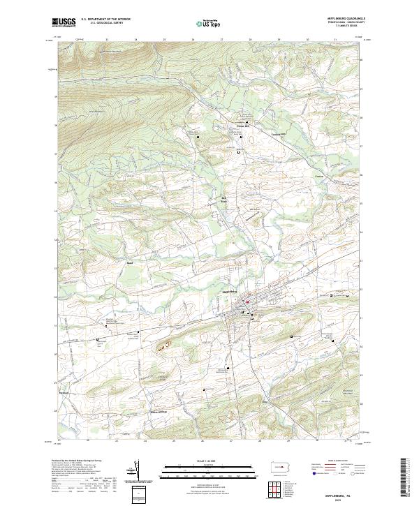
2023 Map of Mifflinburg
USGS Topo · Published 2023About this map
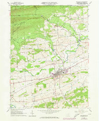
Mifflinburg serves as the central hub of this Union County landscape, where the historic street grid meets the modern Buffalo Valley Rail-Trl. The surrounding area is defined by a dense network of Mennonite and Brethren communities, evidenced by numerous local landmarks such as the Mountain View Old Order Mennonite Church Cem and the Buffalo Church of the Brethren Cem. To the north, the terrain rises sharply into the ridges of Seven Notch Mountain and Jones Mountain, separated from the valley floor by the winding path of Rapid Run. Smaller settlements like Forest Hill, Cowan, and White Springs are linked by the Old Turnpike Rd, which traces a historic transportation corridor through the region. This survey captures a mix of agricultural valley land, steep wooded ridges like Limestone Ridge, and significant genealogical sites including the Johnson Family Burial Site and the Private George Etzweiler Burial Site.
Find a feature on this map
171 named features on this map. Tap any name to fly to it.
Don’t see what you’re looking for? This feature index may not catch every label — zoom into the map to look around manually.
Map Details
Editions of this 2023 Mifflinburg Map
This is the sole edition of this map. No revisions or reprints were ever made.
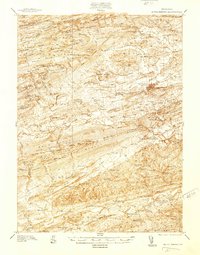
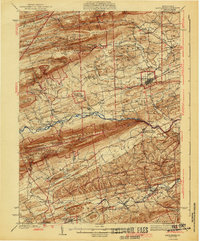
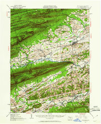
Historical Maps of Mifflinburg Through Time
5 maps found
Featured Locations
- Buffalo Township, PA
- West Buffalo Township, PA
- Mifflinburg, PA
- Johnstown, West Buffalo Township
- Red Bank, West Buffalo Township