2023 Map of Mifflinville
USGS Topo · Published 2023About this map
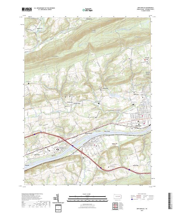
The Susquehanna River flows through this portion of Columbia County, defining the landscape between Mifflinville and the western outskirts of Berwick. The terrain is characterized by the prominent ridges of Huntington Mountain and Knob Mountain, with settlements like Fowlersville and Evansville established in the valleys between. The region's spiritual and community history is exceptionally well-documented through numerous burial grounds, including the Stone Methodist Church Cem, Russian Orthodox Cem, and the Lime Ridge Evangelical United Brethren Cem. Transportation and infrastructure are anchored by the Norfolk Southern line and the Susquehanna River Water Trail - North Branch Trl, illustrating the river's enduring role for both industry and recreation. Small-scale aviation is represented by Seesholtz Airport, while the Briar Creek Reservoir manages the local watershed near Martzville.
Find a feature on this map
202 named features on this map. Tap any name to fly to it.
Don’t see what you’re looking for? This feature index may not catch every label — zoom into the map to look around manually.
Map Details
Editions of this 2023 Mifflinville Map
This is the sole edition of this map. No revisions or reprints were ever made.
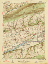
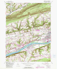
Historical Maps of Orange Township Through Time
3 maps found
Featured Locations
- Briar Creek, PA
- Briar Creek Township, PA
- North Centre Township, PA
- Fishing Creek Township, PA
- Berwick, PA