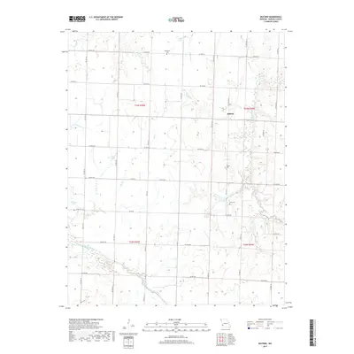
2017 Map of Milford
USGS Topo · Published 2017About this map
The small community of Milford serves as the focal point of this Barton County landscape, situated where N State Hwy CC meets the surrounding agricultural grid. The terrain is defined by a dense network of tributaries including Horse Creek, McCarty Cr, and Painter Br, which drain toward the North Fork Spring River in the south. These waterways carve subtle relief into the prairie, creating several small impoundments such as Cass Lake, Emberry Lake, and Wood Lake.
Find a feature on this map
43 named features on this map. Tap any name to fly to it.
Don’t see what you’re looking for? This feature index may not catch every label — zoom into the map to look around manually.
Map Details
Editions of this 2017 Milford Map
This is the sole edition of this map. No revisions or reprints were ever made.
Other maps of this area

1886 · Nevada
USGS Topo · 1:125,000

1886 · Carthage
USGS Topo · 1:125,000

1894 · Nevada
USGS Topo · 1:125,000

1894 · Carthage
USGS Topo · 1:125,000

1947 · Joplin
USGS Topo · 1:250,000

1949 · Joplin
USGS Topo · 1:250,000

1954 · Joplin
USGS Topo · 1:250,000

1958 · Joplin
USGS Topo · 1:250,000

1959 · Joplin
USGS Topo · 1:250,000
1962 · Jerico Springs
USGS Topo · 1:24,000