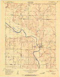
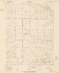
1951 Map of Milford
USGS Topo · Published 1951About this map
The Republican River carves a deep valley through this Kansas landscape, serving as the central artery for the community of Milford. At this time in the early 1950s, the river is flanked by the Union Pacific railroad and Milford Station, which connected local agriculture to broader markets. The surrounding uplands are characterized by a dense network of rural school districts and family cemeteries, suggesting a well-distributed agrarian population. Educational landmarks like Acme School District 92, Zoar School District 75, and Hillside School appear across the terrain, while the Berry Cemetery and Timber Creek Cemetery provide vital touchstones for family history. The convergence of Clay and Riley county lines adds another layer of administrative detail to this survey of the northern Flint Hills region.
Find a feature on this map
28 named features on this map. Tap any name to fly to it.
Don’t see what you’re looking for? This feature index may not catch every label — zoom into the map to look around manually.
Map Details
Editions of this 1951 Milford Map
This is the sole edition of this map. No revisions or reprints were ever made.
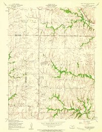
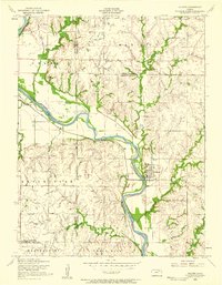
Other maps of this area

1886 · Junction City
USGS Topo · 1:125,000

1889 · Junction City
USGS Topo · 1:125,000

1891 · Clay Center
USGS Topo · 1:125,000

1894 · Junction City
USGS Topo · 1:125,000
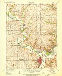
1947 · Fort Riley
USGS Topo · 1:62,500
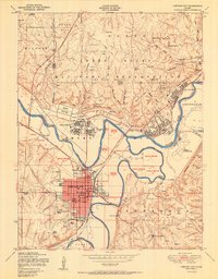
1950 · Junction City
USGS Topo · 1:24,000
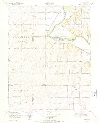
1950 · Alida
USGS Topo · 1:24,000
1951 · Wind Creek
USGS Topo · 1:24,000
1955 · Fort Riley NE
USGS Topo · 1:24,000
1955 · Milford
USGS Topo · 1:24,000