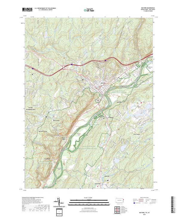
2023 Map of Milford
USGS Topo · Published 2023About this map
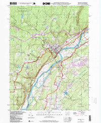
Milford serves as the regional anchor on the Pennsylvania side of the Delaware River, where the Pike County Courthouse and the estate at Grey Towers overlook the valley. The landscape is defined by the sharp transition from the river basin to the surrounding highlands, marked by dramatic features such as The Cliff and The Knob. Numerous waterways like Sawkill Creek and Raymondskill Creek drop toward the Delaware, creating notable landmarks like Pinchot Falls and Raymondskill Falls. Across the river in New Jersey, smaller settlements like Montague and Hainesville sit within the Delaware Water Gap National Recreation Area. For those tracing local history, several small burial grounds and landmarks are noted, including the Old Minisink Reformed Dutch Cem and the Old Union Schoolhouse near Silver Spring.
Find a feature on this map
185 named features on this map. Tap any name to fly to it.
Don’t see what you’re looking for? This feature index may not catch every label — zoom into the map to look around manually.
Map Details
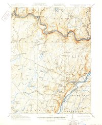
Editions of this 2023 Milford Map
This is the sole edition of this map. No revisions or reprints were ever made.
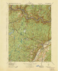
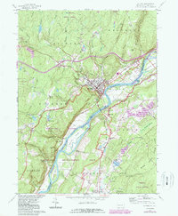
Historical Maps of Abertown Through Time
6 maps found

Featured Locations
- Montague Township, NJ
- Delaware Township, PA
- Dingman Township, PA
- Milford Township, PA
- Westfall Township, PA