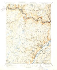
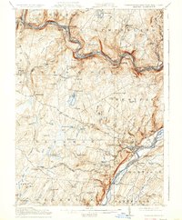
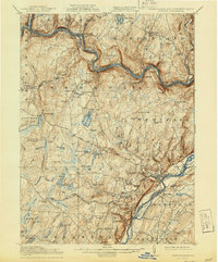
1915 Map of Milford
USGS Topo · Published 1950About this map
Milford stands at the heart of this landscape, positioned where the Delaware River meets the Pennsylvania and New Jersey border. This 1913 survey, updated in the early 1900s, reveals a river-oriented economy shaped by the Erie RR as it winds through the valley between Lackawaxen and Pond Eddy. The distribution of rural education is a prominent feature, with widely scattered institutions like the Yale Forest School, Sawkill School, and Woodtown School serving the small communities of Shohola and Dingman.
Find a feature on this map
127 named features on this map. Tap any name to fly to it.
Don’t see what you’re looking for? This feature index may not catch every label — zoom into the map to look around manually.
Map Details
Editions of this 1915 Milford Map
7 editions found

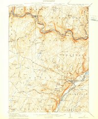
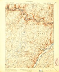
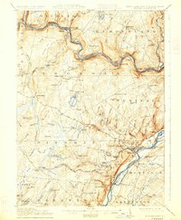
Other maps of this area

1888 · Franklin
USGS Topo · 1:62,500

1891 · Wallpack
USGS Topo · 1:62,500

1893 · Wallpack
USGS Topo · 1:62,500

1894 · Franklin
USGS Topo · 1:62,500

1897 · Franklin
USGS Topo · 1:62,500

1903 · Franklin Furnace
USGS Topo · 1:62,500

1906 · Port Jervis
USGS Topo · 1:62,500

1908 · Port Jervis
USGS Topo · 1:62,500

1909 · Monticello
USGS Topo · 1:62,500

1911 · Monticello
USGS Topo · 1:62,500
Featured Places
- Deerpark, NY
- Lackawaxen Township, PA
- Blooming Grove Township, PA
- Montague Township, NJ
- Shohola Township, PA