
1903 Map of Franklin Furnace
USGS Topo · Published 1903About this map
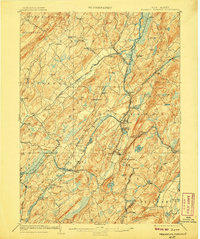
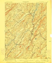
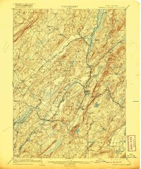
The industrial and agricultural landscape of Sussex County is defined by a dense network of iron mining and complex rail transport at the turn of the century. Franklin Furnace and Franklin Junction serve as central hubs where the mineral wealth of Sterling Hill meets a convergence of major rail lines. The Wallkill River and Clove River wind through valleys partitioned by the New York Susquehanna and Western Railroad and the Lehigh and Hudson River Railroad, illustrating a period when every small settlement from Deckertown to Branchville was tied to the regional economy by steel rails.
Find a feature on this map
95 named features on this map. Tap any name to fly to it.
Don’t see what you’re looking for? This feature index may not catch every label — zoom into the map to look around manually.
Map Details
Editions of this 1903 Franklin Furnace Map
4 editions found
Other maps of this area

1888 · Franklin
USGS Topo · 1:62,500

1888 · Morristown
USGS Topo · 1:62,500

1888 · Hackettstown
USGS Topo · 1:62,500

1888 · Lake Hopatcong
USGS Topo · 1:62,500

1891 · Greenwood Lake
USGS Topo · 1:62,500

1891 · Wallpack
USGS Topo · 1:62,500

1893 · Greenwood Lake
USGS Topo · 1:62,500

1893 · Wallpack
USGS Topo · 1:62,500

1894 · Hackettstown
USGS Topo · 1:62,500

1894 · Morristown
USGS Topo · 1:62,500