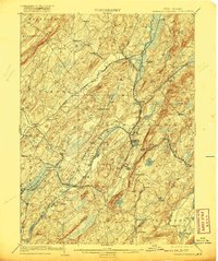
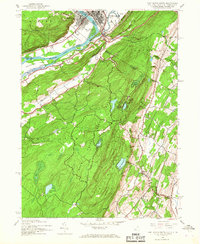
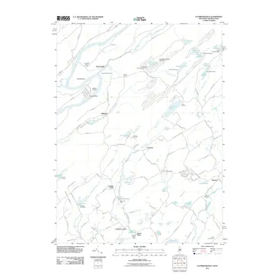
1903 Map of Franklin Furnace
USGS Topo · Published 1920About this map
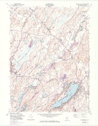
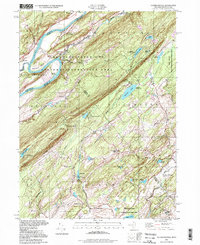
The industrial heart of Sussex County is captured here at a moment of transition, showing the concentrated rail activity around Franklin Furnace and Franklin Junction. The Wallkill River and Papakating Creek valley networks dictate the placement of early settlements and agricultural corridors, while the presence of a Mine and Sterling Hill indicates the region’s long-standing connection to mineral extraction. A dense web of iron-era transportation defines the landscape, including the New York Susquehanna and Western Railroad and the Lehigh and Hudson River Railroad. These lines connect prominent centers like Hamburg and Sussex to smaller outlying hamlets such as Harmony Vale and Beemerville. To the south, the terrain transitions into the highlands surrounding Lake Grinnell and the northern edge of Lake Hopatcong, where the topography becomes increasingly complex.
Find a feature on this map
89 named features on this map. Tap any name to fly to it.
Don’t see what you’re looking for? This feature index may not catch every label — zoom into the map to look around manually.
Map Details
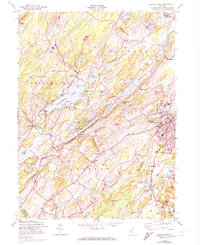
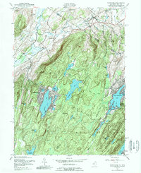
Editions of this 1903 Franklin Furnace Map
4 editions found

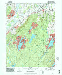
Historical Maps of West Milford Through Time
41 maps found
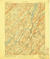
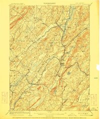
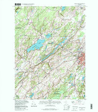
1903 Franklin Furnace
Sussex County, NJ

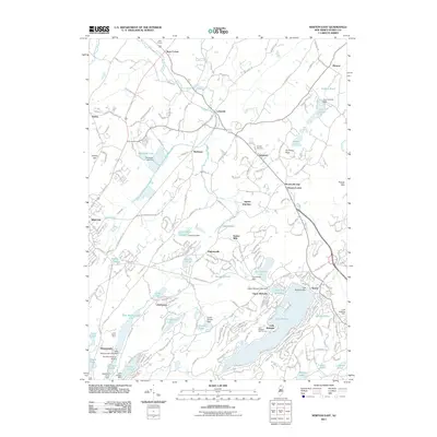
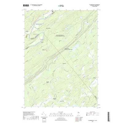
1943 Flatbrookville
Sussex County, NJ

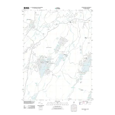
1943 Franklin Furnace
Sussex County, NJ
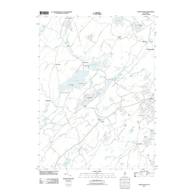
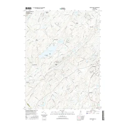
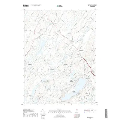
1943 Newton East
Sussex County, NJ
1943 Port Jervis South
Sussex County, NJ
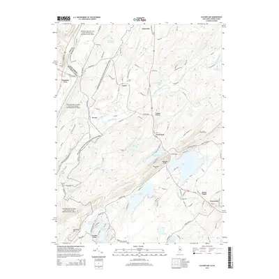
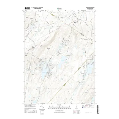
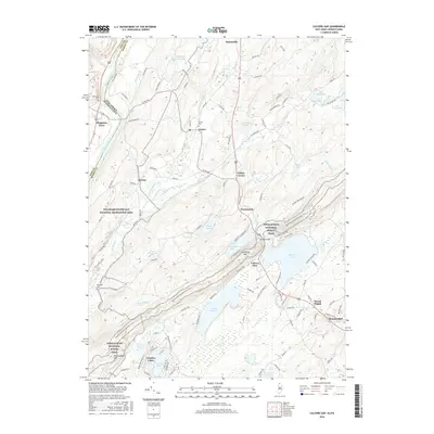
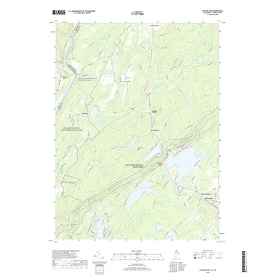
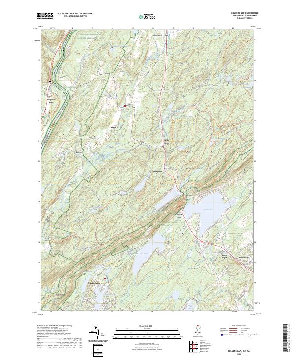
1954 Culvers Gap
Sussex County, NJ
1954 Dingmans Ferry
Sussex County, NJ
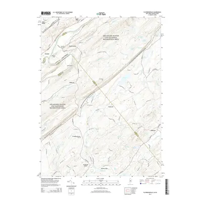
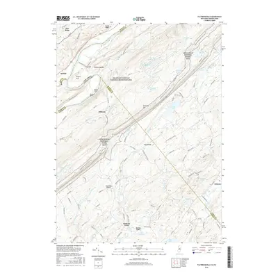
1954 Flatbrookville
Sussex County, NJ
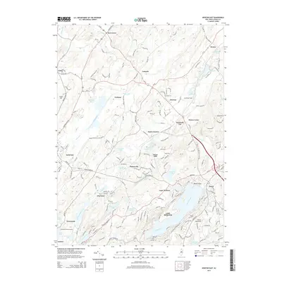
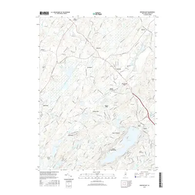
1954 Newton East
Sussex County, NJ
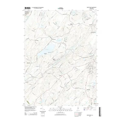
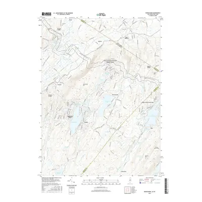
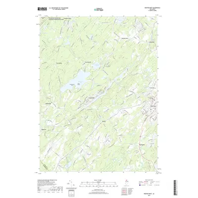
1954 Newton West
Sussex County, NJ
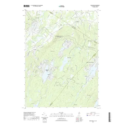
1954 Wawayanda
Sussex County, NJ
1976 Flatbrookville
Sussex County, NJ

1992 Flatbrookville
Sussex County, NJ
1994 Newton West
Sussex County, NJ
1994 Wawayanda
Sussex County, NJ
1997 Flatbrookville
Sussex County, NJ
2011 Culvers Gap
Sussex County, NJ
2011 Flatbrookville
Sussex County, NJ
2011 Newton East
Sussex County, NJ
2011 Newton West
Sussex County, NJ
2011 Wawayanda
Sussex County, NJ
2014 Culvers Gap
Sussex County, NJ
2014 Flatbrookville
Sussex County, NJ
2014 Newton East
Sussex County, NJ
2014 Newton West
Sussex County, NJ
2014 Wawayanda
Sussex County, NJ
2016 Culvers Gap
Sussex County, NJ
2016 Flatbrookville
Sussex County, NJ
2016 Newton East
Sussex County, NJ
2016 Newton West
Sussex County, NJ
2016 Wawayanda
Sussex County, NJ
2019 Culvers Gap
Sussex County, NJ
2019 Flatbrookville
Sussex County, NJ
2019 Newton East
Sussex County, NJ
2019 Newton West
Sussex County, NJ
2019 Wawayanda
Sussex County, NJ
2023 Culvers Gap
Sussex County, NJ
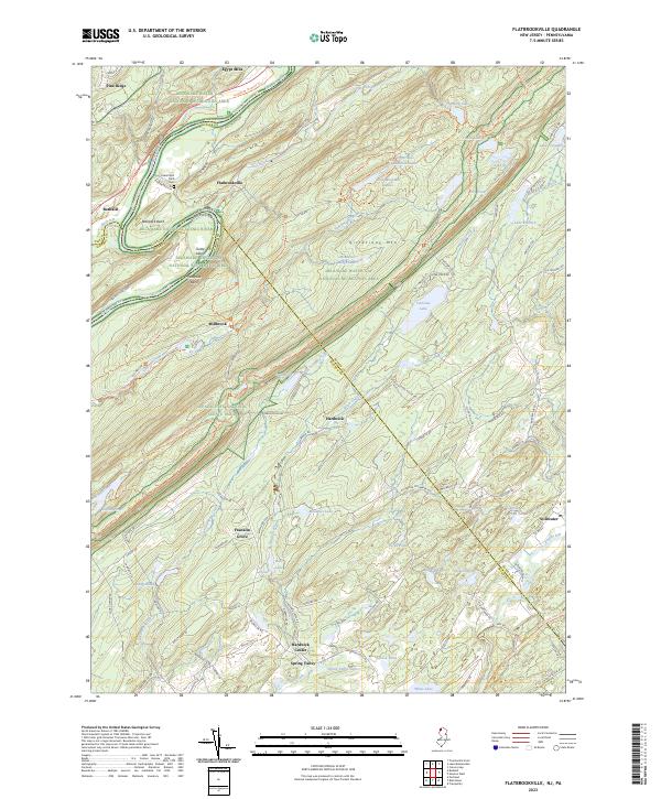
2023 Flatbrookville
Sussex County, NJ
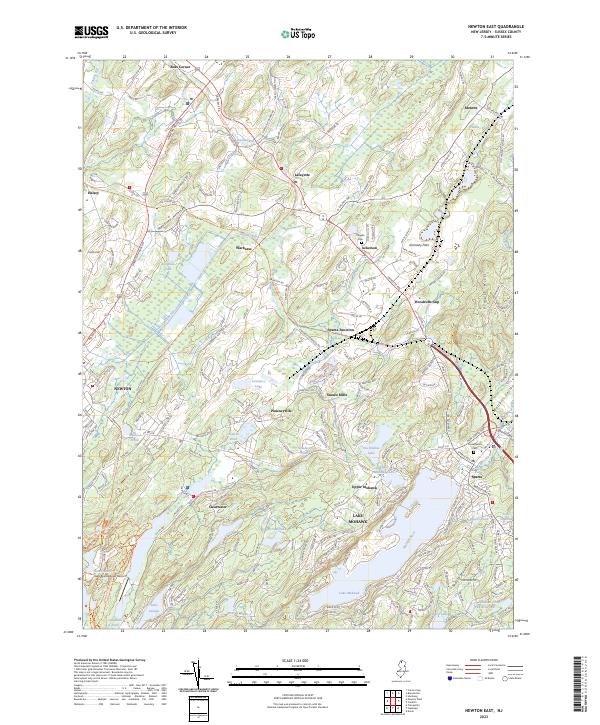
2023 Newton East
Sussex County, NJ
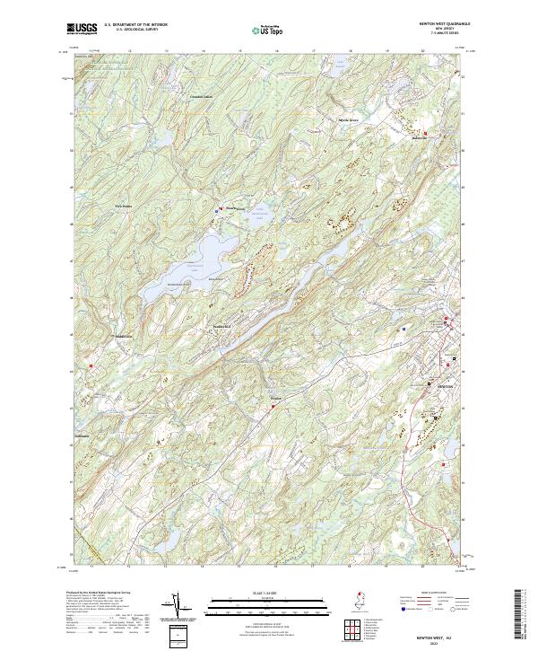
2023 Newton West
Sussex County, NJ
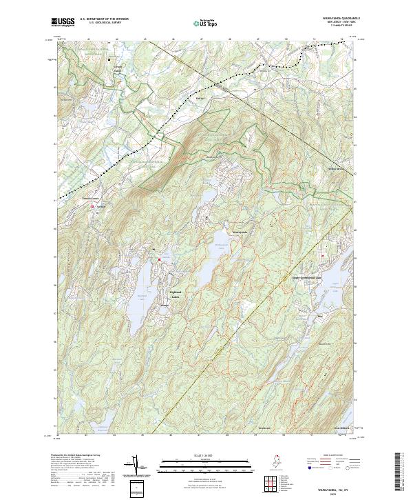
2023 Wawayanda
Sussex County, NJ