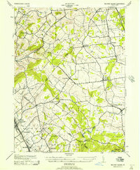
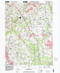
1943 Map of Milford Square
USGS Topo · Published 1957About this map
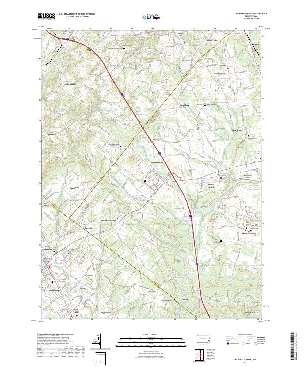
Milford Square and its surrounding townships define this rural landscape during the mid-1940s, situated at the convergence of Bucks, Montgomery, and Lehigh counties. The area is characterized by a dense network of small villages and crossroads settlements, such as Mumbauersville, Spinnerstown, and Trumbauersville, connected by winding roads and several prominent watercourses including Unami Creek and Macoby Creek. The Reading railroad line provides a vital industrial spine through the western portion of the sheet, serving the boroughs of East Greenville, Pennsburg, and Red Hill, as well as the specialized stop at Dillinger Sta.
Find a feature on this map
49 named features on this map. Tap any name to fly to it.
Don’t see what you’re looking for? This feature index may not catch every label — zoom into the map to look around manually.
Map Details
Editions of this 1943 Milford Square Map
2 editions found
Historical Maps of Pennsburg Through Time
9 maps found
1943 Milford Square
Bucks County, PA
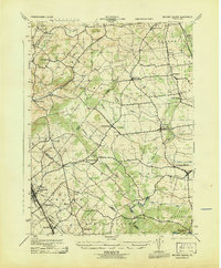
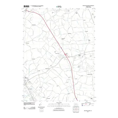
1957 Milford Square
Bucks County, PA
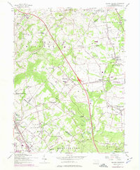
1992 Milford Square
Bucks County, PA
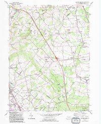
1999 Milford Square
Bucks County, PA
2010 Milford Square
Bucks County, PA
2013 Milford Square
Bucks County, PA
2016 Milford Square
Bucks County, PA
2019 Milford Square
Bucks County, PA
2023 Milford Square
Bucks County, PA