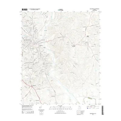
2014 Map of Milledgeville
USGS Topo · Published 2014About this map
Milledgeville serves as the focal point of this 2014 survey, where the Oconee River carves a path past Buzzard Island and McMillan Island. The town's institutional character is evident through the footprints of Georgia Coll & State Univ and the Georgia Military College-Milledgeville Campus, which anchor the central street grid. Beyond the urban center, the landscape transitions into a series of smaller communities including Harrisburg, Scottsboro, and Black Spring.
Find a feature on this map
121 named features on this map. Tap any name to fly to it.
Don’t see what you’re looking for? This feature index may not catch every label — zoom into the map to look around manually.
Map Details
Editions of this 2014 Milledgeville Map
This is the sole edition of this map. No revisions or reprints were ever made.
Other maps of this area

1912 · Milledgeville
USGS Topo · 1:62,500

1916 · Irwinton
USGS Topo · 1:62,500

1920 · Irwinton
USGS Topo · 1:62,500

1953 · Athens
USGS Topo · 1:250,000

1956 · Gordon
USGS Topo · 1:62,500

1957 · Macon
USGS Topo · 1:250,000

1958 · Macon
USGS Topo · 1:250,000

1958 · Athens
USGS Topo · 1:250,000

1959 · Athens
USGS Topo · 1:250,000

1963 · Athens
USGS Topo · 1:250,000