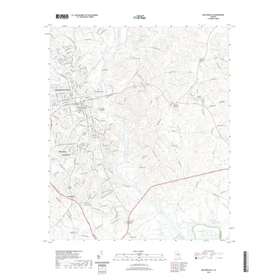
2020 Map of Milledgeville
USGS Topo · Published 2020About this map
Milledgeville serves as the focal point of this Baldwin County survey, where the historic institutional character of the city is clearly defined by the Georgia College and State University and the Georgia Military College - Milledgeville Campus. The Oconee River winds through the center of the sheet, creating riverine landmarks like Buzzard Island and McMillan Island while passing the rocky shoals at Toms Shoals. This landscape is particularly rich for genealogical research, documenting numerous burial grounds such as Memory Hill Cem, Bone Cem, and the churchyards of Black Springs Baptist and Montpelier Methodist. South of the city, the communities of Hardwick, Harrisburg, and Scottsboro line the corridor toward the Selma Erwin Nature Center. The presence of the Baldwin County Courthouse and the Youth Development Center highlights the area's long-standing role as a regional administrative and educational hub.
Find a feature on this map
181 named features on this map. Tap any name to fly to it.
Don’t see what you’re looking for? This feature index may not catch every label — zoom into the map to look around manually.
Map Details
Editions of this 2020 Milledgeville Map
This is the sole edition of this map. No revisions or reprints were ever made.
Other maps of this area

1912 · Milledgeville
USGS Topo · 1:62,500

1916 · Irwinton
USGS Topo · 1:62,500

1920 · Irwinton
USGS Topo · 1:62,500

1953 · Athens
USGS Topo · 1:250,000

1956 · Gordon
USGS Topo · 1:62,500

1957 · Macon
USGS Topo · 1:250,000

1958 · Macon
USGS Topo · 1:250,000

1958 · Athens
USGS Topo · 1:250,000

1959 · Athens
USGS Topo · 1:250,000

1963 · Athens
USGS Topo · 1:250,000