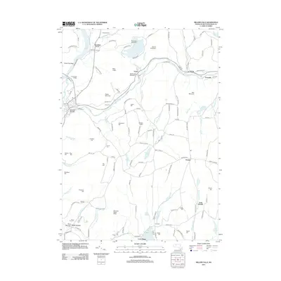
2012 Map of Millers Falls
USGS Topo · Published 2012About this map
The Millers River carves a significant path through this Franklin County landscape, shaping the industrial and settlement patterns of villages like Erving, Farley, and Grout Corner. The river valley is flanked by prominent heights including Rattlesnake Mountain and Bear Mountain, while the western edge is defined by the Connecticut River and the iconic French King Bridge. This 2012 representation captures a region where steep terrain has historically funneled transportation and community growth into narrow corridors along the water.
Find a feature on this map
142 named features on this map. Tap any name to fly to it.
Don’t see what you’re looking for? This feature index may not catch every label — zoom into the map to look around manually.
Map Details
Editions of this 2012 Millers Falls Map
This is the sole edition of this map. No revisions or reprints were ever made.
Other maps of this area

1885 · Northampton
USGS Topo · 1:62,500

1886 · Northampton
USGS Topo · 1:62,500

1887 · Warwick
USGS Topo · 1:62,500

1887 · Belchertown
USGS Topo · 1:62,500

1889 · Warwick
USGS Topo · 1:62,500

1890 · Belchertown
USGS Topo · 1:62,500

1890 · Greenfield
USGS Topo · 1:62,500

1891 · Northampton
USGS Topo · 1:62,500

1893 · Northampton
USGS Topo · 1:62,500

1893 · Belchertown
USGS Topo · 1:62,500