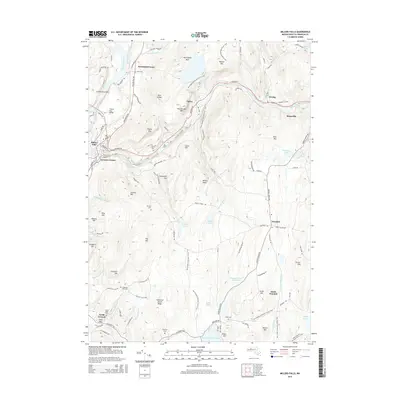
2015 Map of Millers Falls
USGS Topo · Published 2015About this map
The Connecticut River and Millers River define the industrial and natural geography of this Franklin County corridor. The French King Bridge serves as a prominent landmark over the water, connecting the rugged terrain around French King Rock to the village of Erving. The map details a landscape of high ridges and narrow valleys, including Northfield Mtn and Rattlesnake Mtn, which are traversed by the New England National Scenic Trail.
Find a feature on this map
116 named features on this map. Tap any name to fly to it.
Don’t see what you’re looking for? This feature index may not catch every label — zoom into the map to look around manually.
Map Details
Editions of this 2015 Millers Falls Map
This is the sole edition of this map. No revisions or reprints were ever made.
Other maps of this area

1885 · Northampton
USGS Topo · 1:62,500

1886 · Northampton
USGS Topo · 1:62,500

1887 · Warwick
USGS Topo · 1:62,500

1887 · Belchertown
USGS Topo · 1:62,500

1889 · Warwick
USGS Topo · 1:62,500

1890 · Belchertown
USGS Topo · 1:62,500

1890 · Greenfield
USGS Topo · 1:62,500

1891 · Northampton
USGS Topo · 1:62,500

1893 · Northampton
USGS Topo · 1:62,500

1893 · Belchertown
USGS Topo · 1:62,500