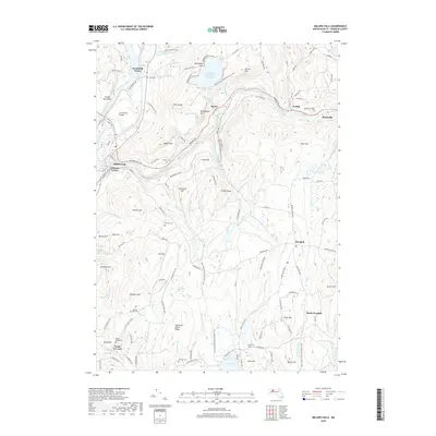
2018 Map of Millers Falls
USGS Topo · Published 2018About this map
French King Bridge and the legendary French King Rock anchor the western edge of this landscape where the Connecticut River meets the Millers River. The area is defined by its deep hydro-electric and industrial roots, featuring the massive Northfield Mountain Reservoir and its associated Tailrace Tunnel. High elevations like Northfield Mtn and Rattlesnake Mtn dominate the terrain, while the New England National Scenic Trail winds through the forests connecting local landmarks. For those tracing family histories in the villages of Millers Falls, Wendell, and Farley, several burial grounds are documented, including Holton Cem, Dry Hill Cem, and Chestnut Hill Cem. The map preserves the spatial arrangement of historic crossings and small settlements like Grout's Corner and Stoneville amidst a network of brooks and hollows.
Find a feature on this map
106 named features on this map. Tap any name to fly to it.
Don’t see what you’re looking for? This feature index may not catch every label — zoom into the map to look around manually.
Map Details
Editions of this 2018 Millers Falls Map
This is the sole edition of this map. No revisions or reprints were ever made.
Other maps of this area

1885 · Northampton
USGS Topo · 1:62,500

1886 · Northampton
USGS Topo · 1:62,500

1887 · Warwick
USGS Topo · 1:62,500

1887 · Belchertown
USGS Topo · 1:62,500

1889 · Warwick
USGS Topo · 1:62,500

1890 · Belchertown
USGS Topo · 1:62,500

1890 · Greenfield
USGS Topo · 1:62,500

1891 · Northampton
USGS Topo · 1:62,500

1893 · Northampton
USGS Topo · 1:62,500

1893 · Belchertown
USGS Topo · 1:62,500